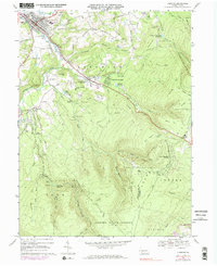
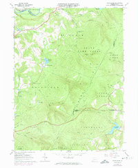
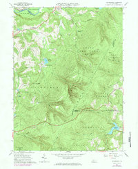
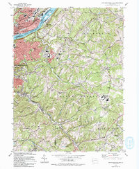
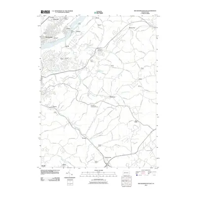
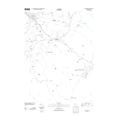
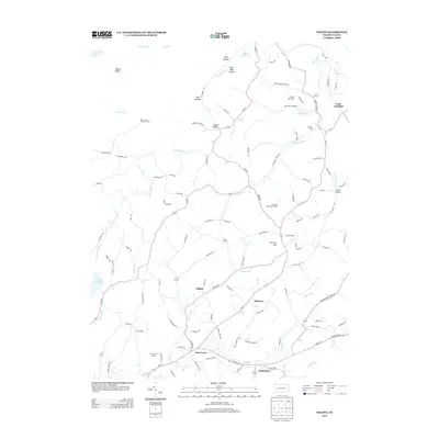
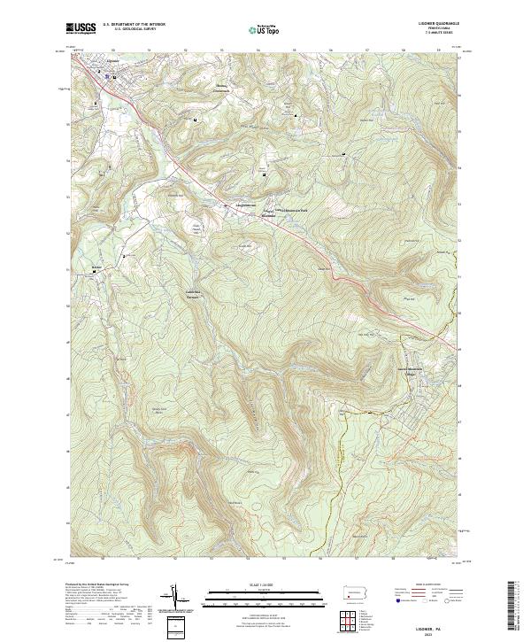
1967 Map of Ligonier
USGS Topo · Published 1983About this map
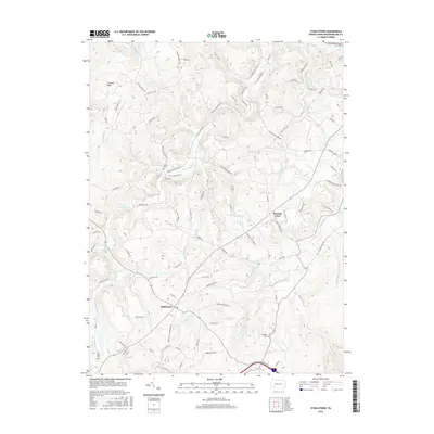
Loyalhanna Creek flows through the heart of this Westmoreland County valley, anchoring the settlement of Ligonier and its surrounding rural townships. The landscape transitions from the developed town center to the steep elevations of Laurel Hill and Ligonier Ridge. This 1967 survey captures the area's mix of recreation and industry, showing the Rolling Rock Racecourse and Laurel Valley Golf Club alongside active and historical resource extraction, including a Strip Mine and the Silver Mine Hollow.
Find a feature on this map
87 named features on this map. Tap any name to fly to it.
Don’t see what you’re looking for? This feature index may not catch every label — zoom into the map to look around manually.
Map Details
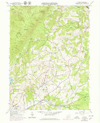
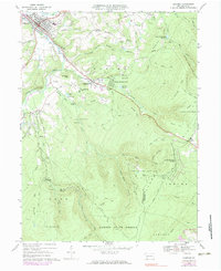
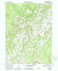
Editions of this 1967 Ligonier Map
4 editions found
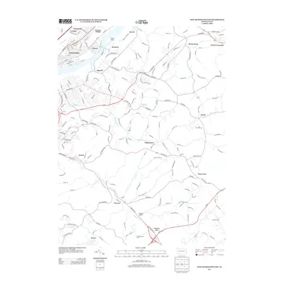
Historical Maps of Jenner Township Through Time
37 maps found
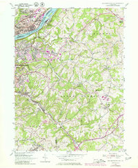
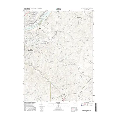
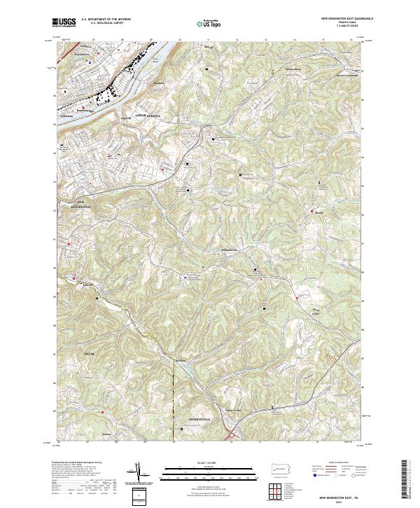
1953 New Kensington East
Westmoreland County, PA
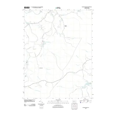
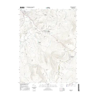
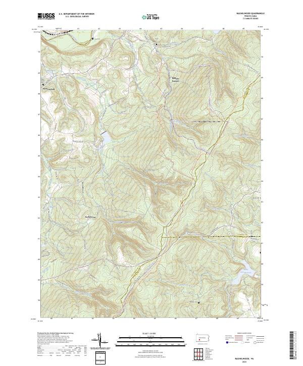
1964 Rachelwood
Westmoreland County, PA
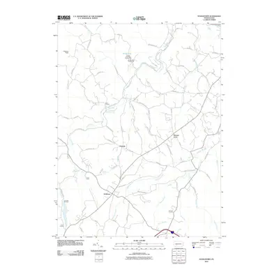
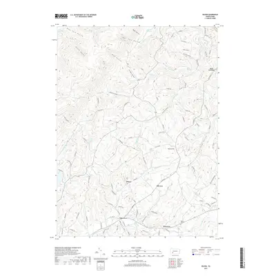
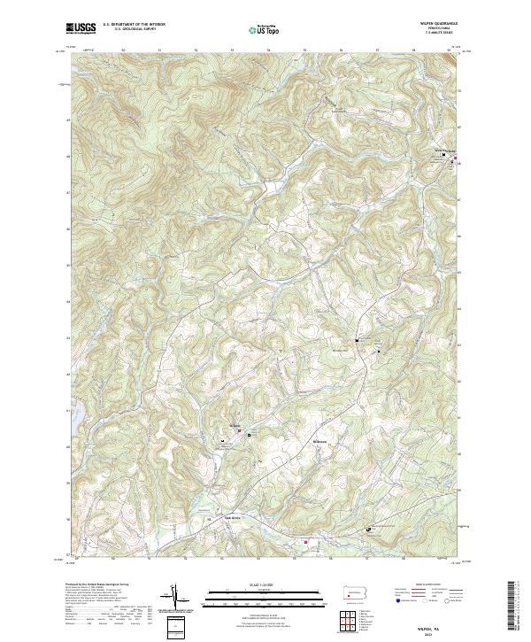
1964 Wilpen
Westmoreland County, PA
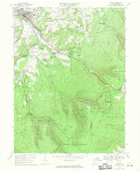
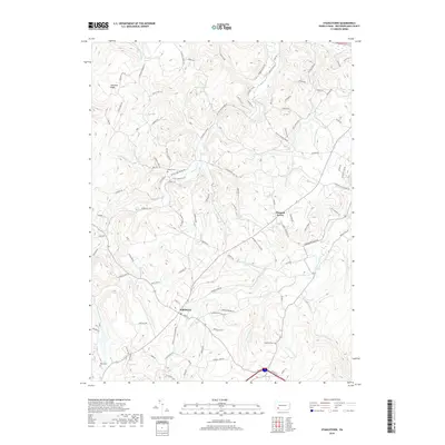
1967 Ligonier
Westmoreland County, PA
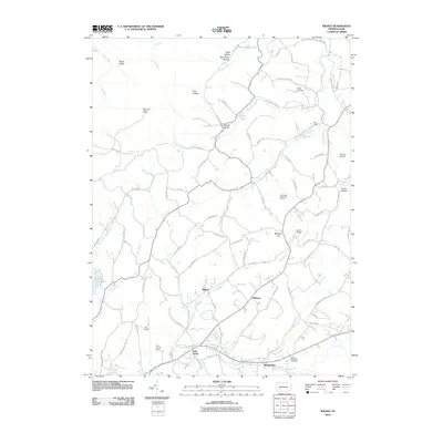
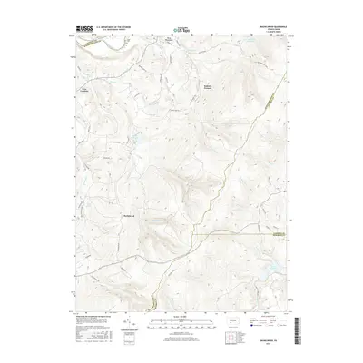
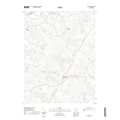
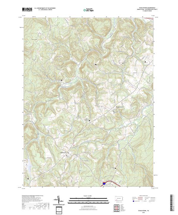
1967 Stahlstown
Westmoreland County, PA
1973 Rachelwood
Westmoreland County, PA
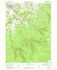
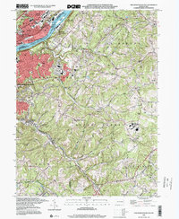
1977 Ligonier
Westmoreland County, PA
1977 Rachelwood
Westmoreland County, PA
1986 Pittsburgh East
Westmoreland County, PA
1993 New Kensington East
Westmoreland County, PA
1998 New Kensington East
Westmoreland County, PA
1998 Rachelwood
Westmoreland County, PA
2010 Ligonier
Westmoreland County, PA
2010 New Kensington East
Westmoreland County, PA
2010 Rachelwood
Westmoreland County, PA
2010 Stahlstown
Westmoreland County, PA
2010 Wilpen
Westmoreland County, PA
2013 Ligonier
Westmoreland County, PA
2013 New Kensington East
Westmoreland County, PA
2013 Rachelwood
Westmoreland County, PA
2013 Stahlstown
Westmoreland County, PA
2013 Wilpen
Westmoreland County, PA
2016 Ligonier
Westmoreland County, PA
2016 New Kensington East
Westmoreland County, PA
2016 Rachelwood
Westmoreland County, PA
2016 Stahlstown
Westmoreland County, PA
2016 Wilpen
Westmoreland County, PA
2019 Ligonier
Westmoreland County, PA
2019 New Kensington East
Westmoreland County, PA
2019 Rachelwood
Westmoreland County, PA
2019 Stahlstown
Westmoreland County, PA
2019 Wilpen
Westmoreland County, PA
2023 Ligonier
Westmoreland County, PA
2023 New Kensington East
Westmoreland County, PA
2023 Rachelwood
Westmoreland County, PA
2023 Stahlstown
Westmoreland County, PA
2023 Wilpen
Westmoreland County, PA