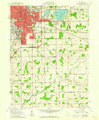
1961 Map of Lima
USGS Topo · Published 1962About this map
The industrial and civic heart of Lima stands in sharp relief against the agricultural landscape of Perry and Duchouquet townships in the early 1960s. This survey highlights a dense urban core anchored by the Courthouse and Public Square, surrounded by a concentration of parochial and public schools such as Washington McKinley Sch and St Rose Sch. The city’s healthcare infrastructure is clearly marked with St Rita Hospital and Memorial Hospital, reflecting its role as a regional center.
Find a feature on this map
75 named features on this map. Tap any name to fly to it.
Don’t see what you’re looking for? This feature index may not catch every label — zoom into the map to look around manually.
Map Details
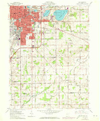
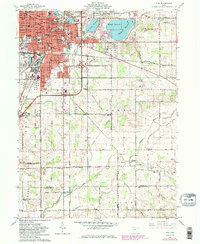
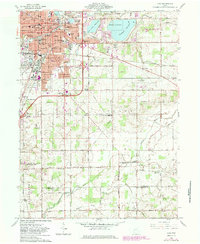
Editions of this 1961 Lima Map
4 editions found
Other maps of this area

1906 · Lima
USGS Topo · 1:62,500

1906 · Columbus Grove
USGS Topo · 1:62,500

1907 · Bluffton
USGS Topo · 1:62,500

1908 · Columbus Grove
USGS Topo · 1:62,500

1913 · Alger
USGS Topo · 1:48,000

1915 · Alger
USGS Topo · 1:62,500

1943 · Alger
USGS Topo · 1:62,500

1950 · Marion
USGS Topo · 1:250,000

1953 · Muncie
USGS Topo · 1:250,000

1956 · Muncie
USGS Topo · 1:250,000