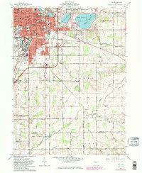
1961 Map of Lima
USGS Topo · Published 1983About this map
The industrial and civic heart of Lima stands at the center of this mid-century survey, revealing a landscape defined by manufacturing and rail infrastructure. An extensive Oil Refinery and adjacent Tank Farm dominate the southwestern city limits, while a dense network of lines from the Baltimore and Ohio and Conrail railroads converge near the Public Square and Courthouse. This era shows the city's established footprint, featuring numerous parochial and public institutions like St Rita Hospital, Central Jr High Sch, and Lincoln Park.
Find a feature on this map
101 named features on this map. Tap any name to fly to it.
Don’t see what you’re looking for? This feature index may not catch every label — zoom into the map to look around manually.
Map Details
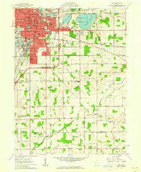
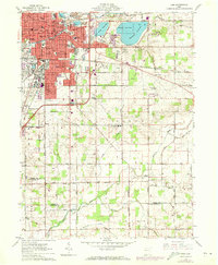
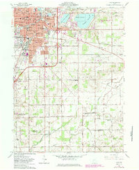
Editions of this 1961 Lima Map
4 editions found
Other maps of this area

1906 · Lima
USGS Topo · 1:62,500

1906 · Columbus Grove
USGS Topo · 1:62,500

1907 · Bluffton
USGS Topo · 1:62,500

1908 · Columbus Grove
USGS Topo · 1:62,500

1913 · Alger
USGS Topo · 1:48,000

1915 · Alger
USGS Topo · 1:62,500

1943 · Alger
USGS Topo · 1:62,500

1950 · Marion
USGS Topo · 1:250,000

1953 · Muncie
USGS Topo · 1:250,000

1956 · Muncie
USGS Topo · 1:250,000