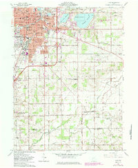
1961 Map of Lima
USGS Topo · Published 1983About this map
The industrial and educational hub of Lima stands at the center of this 1961 survey, showing a landscape defined by significant infrastructure and the expansion of the Ohio State University (Lima Campus). The western edge of the city is marked by heavy industry, including an Oil Refinery and a Tank Farm, while the eastern landscape is dominated by the massive water storage of Metzger Reservoir and Ferguson Reservoir.
Find a feature on this map
91 named features on this map. Tap any name to fly to it.
Don’t see what you’re looking for? This feature index may not catch every label — zoom into the map to look around manually.
Map Details
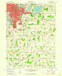
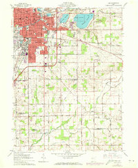
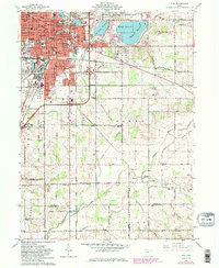
Editions of this 1961 Lima Map
4 editions found
Other maps of this area

1906 · Lima
USGS Topo · 1:62,500

1906 · Columbus Grove
USGS Topo · 1:62,500

1907 · Bluffton
USGS Topo · 1:62,500

1908 · Columbus Grove
USGS Topo · 1:62,500

1913 · Alger
USGS Topo · 1:48,000

1915 · Alger
USGS Topo · 1:62,500

1943 · Alger
USGS Topo · 1:62,500

1950 · Marion
USGS Topo · 1:250,000

1953 · Muncie
USGS Topo · 1:250,000

1956 · Muncie
USGS Topo · 1:250,000