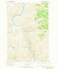
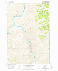
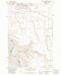
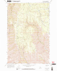
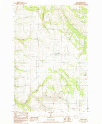
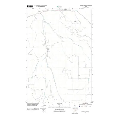
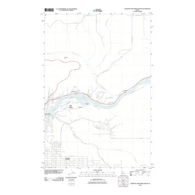
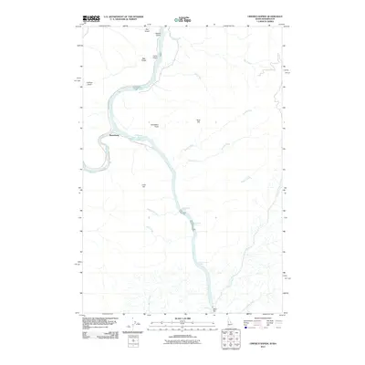
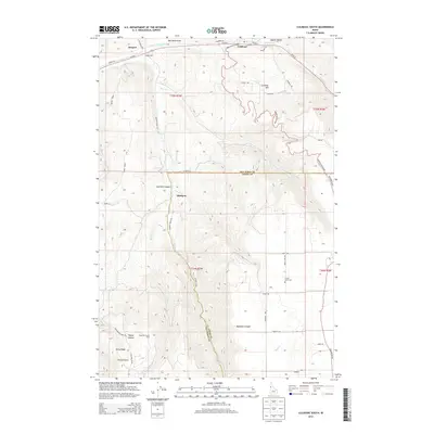
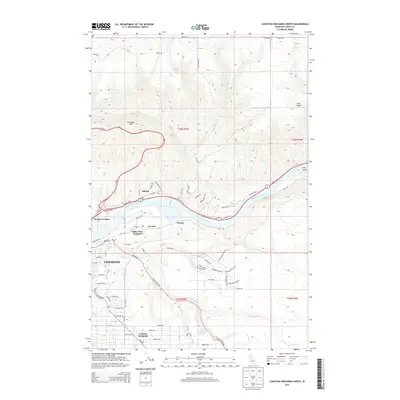
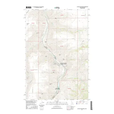
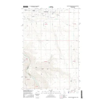
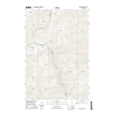
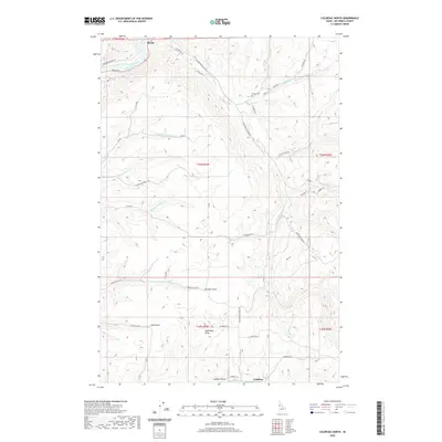
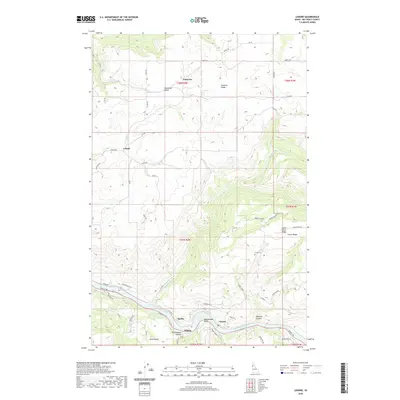
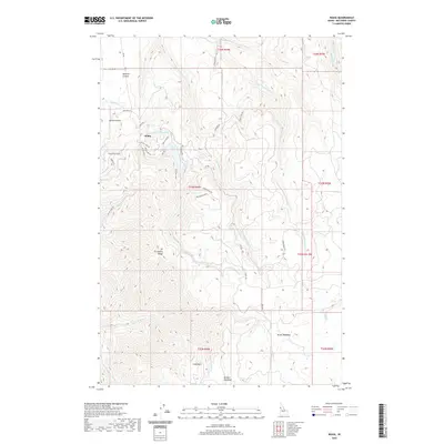
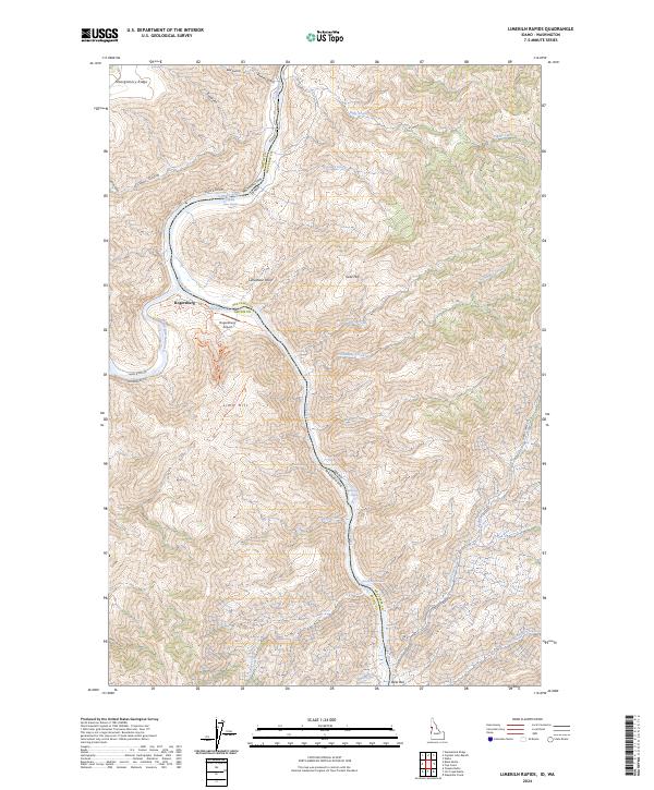
1968 Map of Limekiln Rapids
USGS Topo · Published 1971About this map
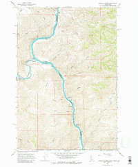
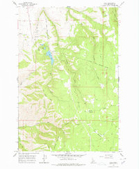
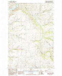
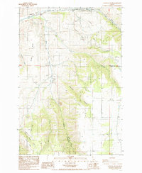
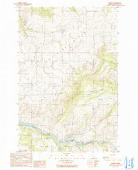
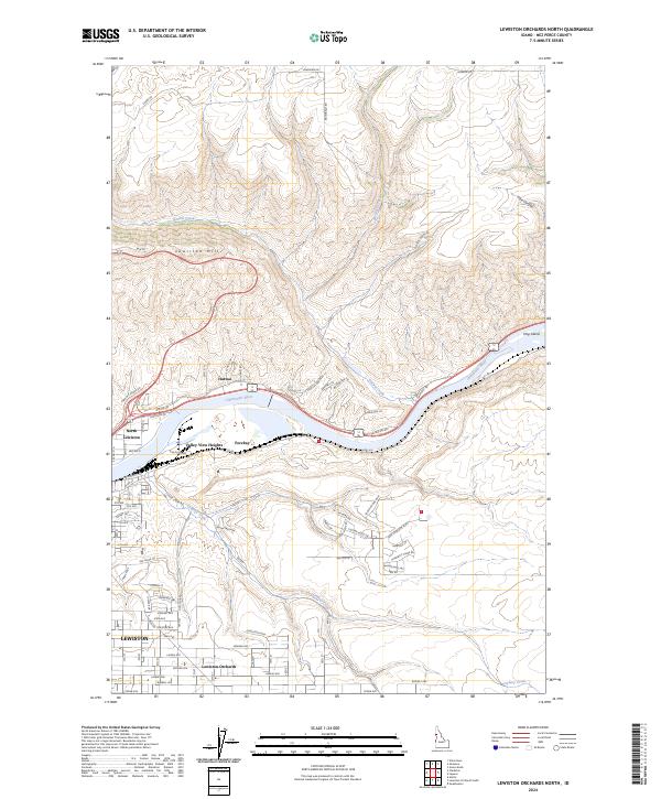
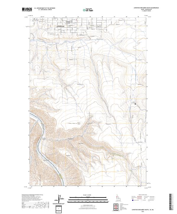
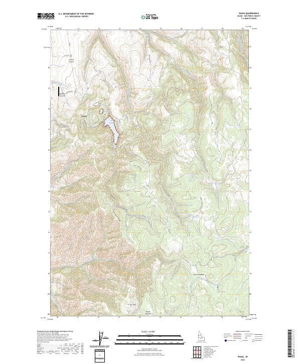
The Snake River carves a deep path through the canyonlands of Nez Perce County, Idaho, and Asotin County, Washington, in this late 1960s survey. The confluence with the Grande Ronde River serves as a focal point near the riverside community of Rogersburg. The river's character is defined by a series of named hazards for river navigation, including Captain Lewis Rapids, Limekiln Rapids, and Wild Goose Rapids. The landscape is dominated by high ridges and peaks such as Gold Hill, Lime Hill, and Montgomery Ridge. Evidence of early resource exploration is visible at a Prospect near the riverbank, while the presence of a Gaging Station highlights the hydrological importance of this stretch of water before it flows further north. Dozens of small drainages like Shovel Creek and China Garden Creek feed into the main canyon, illustrating the complex drainage patterns of the region.
Find a feature on this map
37 named features on this map. Tap any name to fly to it.
Don’t see what you’re looking for? This feature index may not catch every label — zoom into the map to look around manually.
Map Details
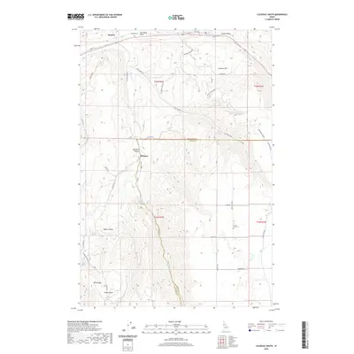
Editions of this 1968 Limekiln Rapids Map
3 editions found
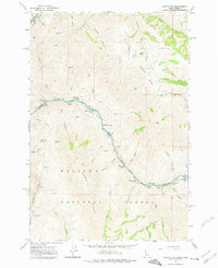
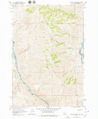
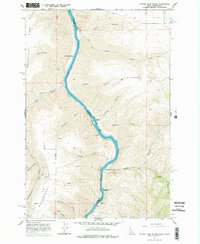
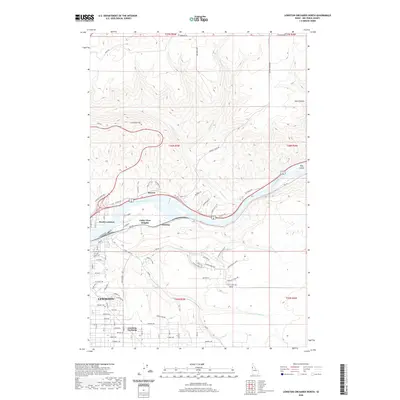
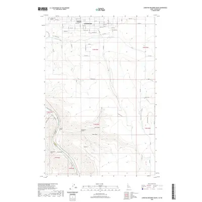
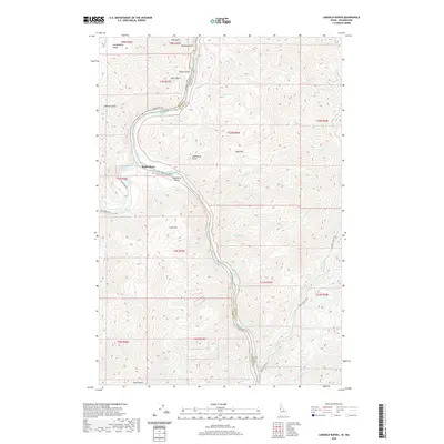
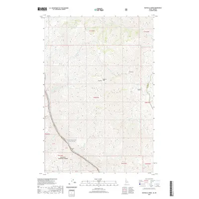
Historical Maps of Rogersburg Through Time
69 maps found
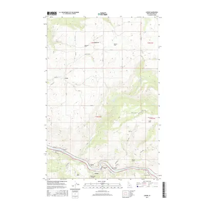
1946 Limekiln Rapids
Nez Perce County, ID

1958 Lewiston Orchards
Nez Perce County, ID
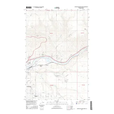
1958 Lewiston Orchards North
Nez Perce County, ID
1958 Lewiston Orchards South
Nez Perce County, ID
1963 Cactus Mtn
Nez Perce County, ID
1963 Wapshilla Creek
Nez Perce County, ID
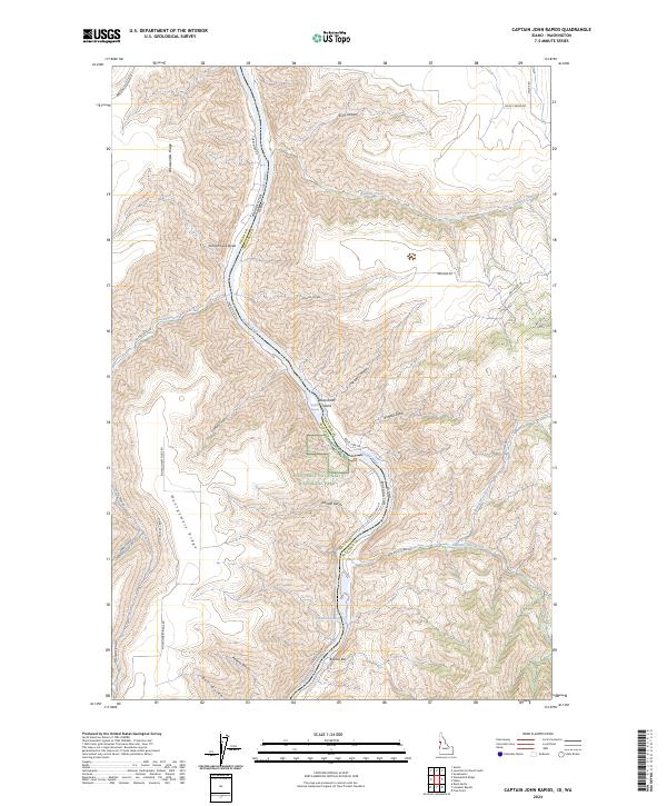
1968 Captain John Rapids
Nez Perce County, ID
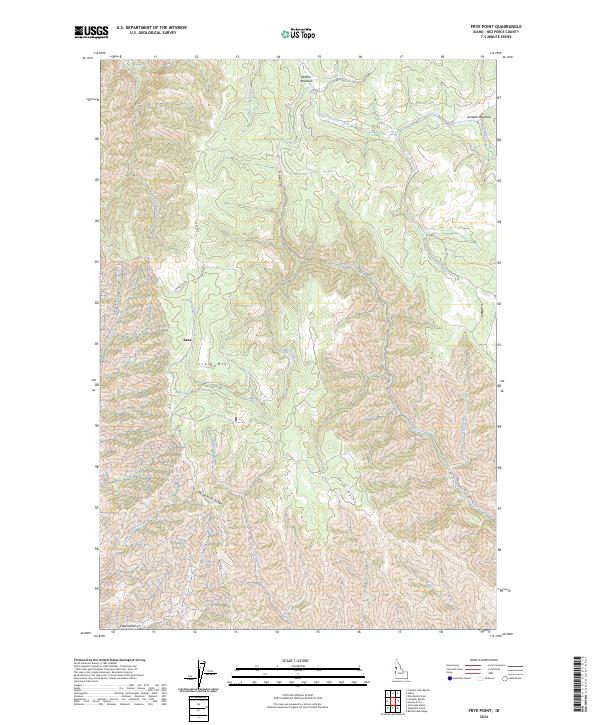
1968 Frye Point
Nez Perce County, ID
1968 Limekiln Rapids
Nez Perce County, ID
1968 Waha
Nez Perce County, ID
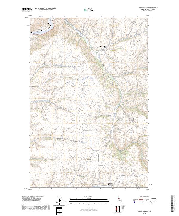
1984 Culdesac North
Nez Perce County, ID
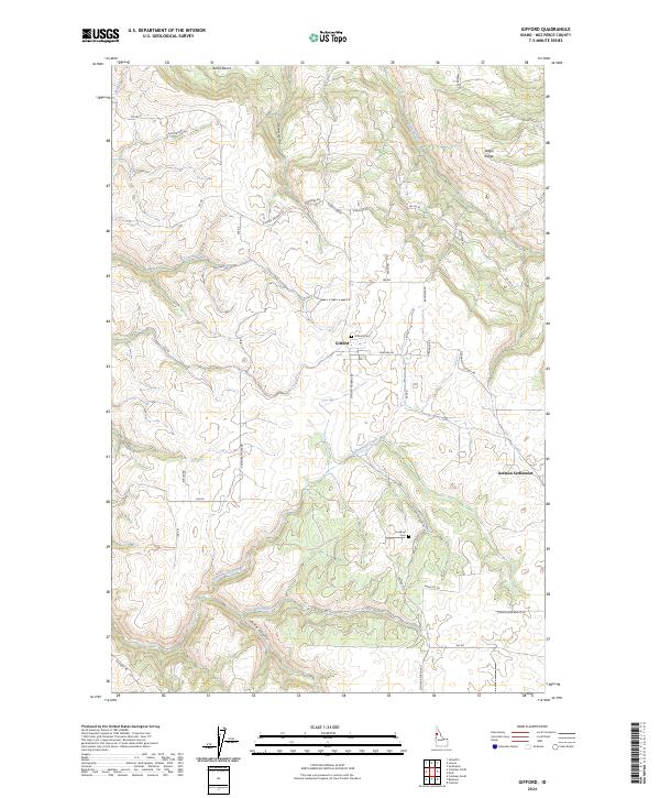
1984 Gifford
Nez Perce County, ID
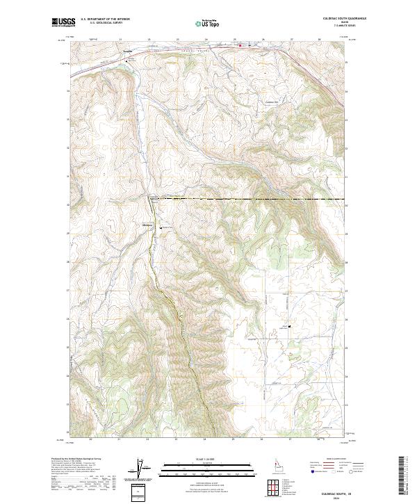
1985 Culdesac South
Nez Perce County, ID
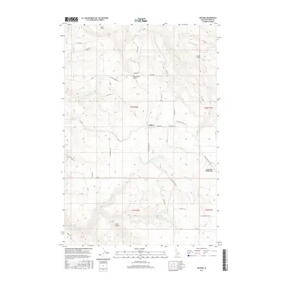
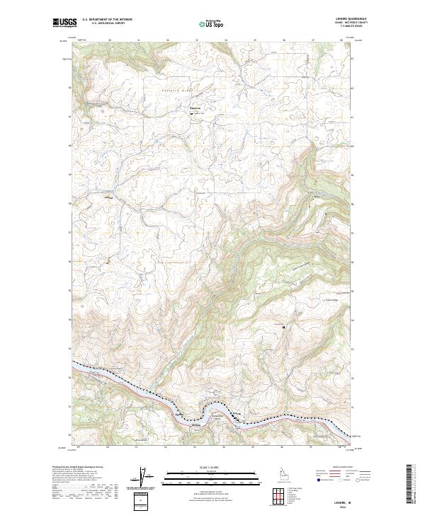
1990 Lenore
Nez Perce County, ID
2010 Culdesac North
Nez Perce County, ID
2010 Culdesac South
Nez Perce County, ID
2010 Frye Point
Nez Perce County, ID
2010 Gifford
Nez Perce County, ID
2010 Lenore
Nez Perce County, ID
2010 Lewiston Orchards North
Nez Perce County, ID
2010 Waha
Nez Perce County, ID
2011 Captain John Rapids
Nez Perce County, ID
2011 Lewiston Orchards South
Nez Perce County, ID
2011 Limekiln Rapids
Nez Perce County, ID
2011 Wapshilla Creek
Nez Perce County, ID
2013 Captain John Rapids
Nez Perce County, ID
2013 Culdesac North
Nez Perce County, ID
2013 Culdesac South
Nez Perce County, ID
2013 Frye Point
Nez Perce County, ID
2013 Gifford
Nez Perce County, ID
2013 Lenore
Nez Perce County, ID
2013 Lewiston Orchards North
Nez Perce County, ID
2013 Lewiston Orchards South
Nez Perce County, ID
2013 Limekiln Rapids
Nez Perce County, ID

2013 Waha
Nez Perce County, ID
2013 Wapshilla Creek
Nez Perce County, ID
2017 Captain John Rapids
Nez Perce County, ID
2017 Culdesac North
Nez Perce County, ID
2017 Culdesac South
Nez Perce County, ID
2017 Frye Point
Nez Perce County, ID
2017 Gifford
Nez Perce County, ID
2017 Lenore
Nez Perce County, ID
2017 Lewiston Orchards North
Nez Perce County, ID
2017 Lewiston Orchards South
Nez Perce County, ID
2017 Limekiln Rapids
Nez Perce County, ID
2017 Waha
Nez Perce County, ID
2017 Wapshilla Creek
Nez Perce County, ID
2020 Captain John Rapids
Nez Perce County, ID
2020 Culdesac North
Nez Perce County, ID
2020 Culdesac South
Nez Perce County, ID
2020 Frye Point
Nez Perce County, ID
2020 Gifford
Nez Perce County, ID
2020 Lenore
Nez Perce County, ID
2020 Lewiston Orchards North
Nez Perce County, ID
2020 Lewiston Orchards South
Nez Perce County, ID
2020 Limekiln Rapids
Nez Perce County, ID
2020 Waha
Nez Perce County, ID
2020 Wapshilla Creek
Nez Perce County, ID
2024 Captain John Rapids
Nez Perce County, ID
2024 Culdesac North
Nez Perce County, ID
2024 Culdesac South
Nez Perce County, ID
2024 Frye Point
Nez Perce County, ID
2024 Gifford
Nez Perce County, ID
2024 Lenore
Nez Perce County, ID
2024 Lewiston Orchards North
Nez Perce County, ID
2024 Lewiston Orchards South
Nez Perce County, ID
2024 Limekiln Rapids
Nez Perce County, ID
2024 Waha
Nez Perce County, ID
2024 Wapshilla Creek
Nez Perce County, ID