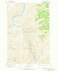
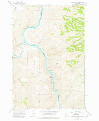
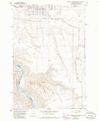
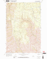
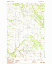
1968 Map of Limekiln Rapids
USGS Topo · Published 1971This historical map portrays the area of Limekiln Rapids in 1968, primarily covering Nez Perce County as well as portions of Washington. Featuring a scale of 1:24000, this map provides a highly detailed snapshot of the terrain, roads, buildings, counties, and historical landmarks in the Limekiln Rapids region at the time. Published in 1971, it is one of 3 known editions of this map due to revisions or reprints.
Find a feature on this map
37 named features on this map. Tap any name to fly to it.
Don’t see what you’re looking for? This feature index may not catch every label — zoom into the map to look around manually.
Map Details
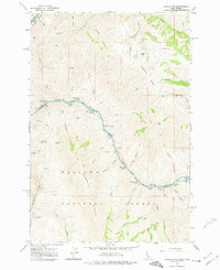
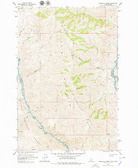
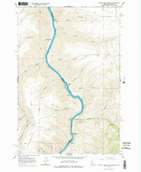
Editions of this 1968 Limekiln Rapids Map
3 editions found
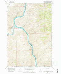
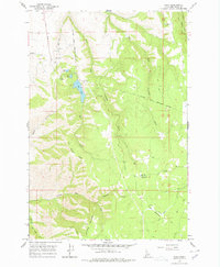
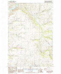
Historical Maps of Asotin County Through Time
14 maps found
1946 Limekiln Rapids
Nez Perce County, ID

1958 Lewiston Orchards
Nez Perce County, ID
1958 Lewiston Orchards North
Nez Perce County, ID
1958 Lewiston Orchards South
Nez Perce County, ID
1963 Cactus Mtn
Nez Perce County, ID
1963 Wapshilla Creek
Nez Perce County, ID
1968 Captain John Rapids
Nez Perce County, ID
1968 Frye Point
Nez Perce County, ID
1968 Limekiln Rapids
Nez Perce County, ID
1968 Waha
Nez Perce County, ID
1984 Culdesac North
Nez Perce County, ID
1984 Gifford
Nez Perce County, ID
1985 Culdesac South
Nez Perce County, ID
1990 Lenore
Nez Perce County, ID