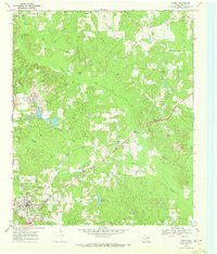
1969 Map of Linden
USGS Topo · Published 1972About this map
Linden serves as the focal point of this late 1960s survey, showing a landscape defined by small communities and rural industry in Cass County. The town center is densely detailed with landmarks like the Rodeo Ground, Lions Park, and various municipal utilities including a Water Tank and Radio Tower. Beyond the town, the terrain is shaped by the headwaters of numerous waterways such as Bowman Creek, Colley Creek, and Frazier Creek, which create a complex system of ridges and valleys. Evidence of local extractive industry is visible in the various Strip Mines and Gravel Pit locations scattered through the woodlands.
Find a feature on this map
37 named features on this map. Tap any name to fly to it.
Don’t see what you’re looking for? This feature index may not catch every label — zoom into the map to look around manually.
Map Details
Editions of this 1969 Linden Map
2 editions found
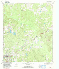
Other maps of this area

1907 · Atlanta
USGS Topo · 1:62,500

1910 · Linden
USGS Topo · 1:62,500

1910 · Atlanta
USGS Topo · 1:62,500

1944 · Kildare
USGS Topo · 1:62,500

1948 · Kildare
USGS Topo · 1:62,500

1953 · Texarkana
USGS Topo · 1:250,000

1956 · Texarkana
USGS Topo · 1:250,000

1956 · Tyler
USGS Topo · 1:250,000

1961 · Cunningham Creek
USGS Topo · 1:24,000

1962 · Lanier
USGS Topo · 1:24,000