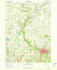
1960 Map of Lisbon
USGS Topo · Published 1972About this map
The county seat of Lisbon serves as the focal point of this Eastern Ohio landscape, where the Middle Fork Little Beaver Creek winds through a valley shaped by heavy industry and transit. By the early 1970s, the area's economic foundations are visible in the numerous strip mines that pockmark the hillsides, particularly around Logtown and Leetonia. The transport network is anchored by the Penn Central and Erie-Lackawanna railroads, which facilitated the movement of coal and industrial goods through the region.
Find a feature on this map
83 named features on this map. Tap any name to fly to it.
Don’t see what you’re looking for? This feature index may not catch every label — zoom into the map to look around manually.
Map Details
Editions of this 1960 Lisbon Map
4 editions found
Other maps of this area

1904 · Wellsville
USGS Topo · 1:62,500

1905 · Salineville
USGS Topo · 1:62,500

1907 · Columbiana
USGS Topo · 1:62,500

1909 · Lisbon
USGS Topo · 1:62,500

1909 · Columbiana
USGS Topo · 1:62,500

1937 · Wellsville
USGS Topo · 1:62,500

1944 · Wellsville
USGS Topo · 1:62,500

1951 · Canton
USGS Topo · 1:250,000

1951 · Columbiana
USGS Topo · 1:24,000

1952 · Damascus
USGS Topo · 1:24,000