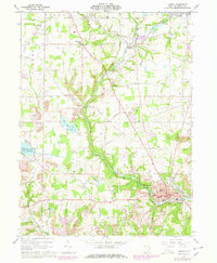
1960 Map of Lisbon
USGS Topo · Published 1978About this map
Middle Fork Little Beaver Creek meanders through the heart of Columbiana County, shaping a landscape defined by its industrial transit and water management in the mid-20th century. The village of Lisbon serves as a focal point, featuring the Anderson High Sch and Memorial Stadium near the confluence of the Little Beaver Creek. This era shows a complex intersection of infrastructure, where the Erie-Lackawanna and Penn Central railroads cut across the terrain, passing through smaller communities like Franklin Square and Leetonia.
Find a feature on this map
70 named features on this map. Tap any name to fly to it.
Don’t see what you’re looking for? This feature index may not catch every label — zoom into the map to look around manually.
Map Details
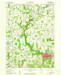
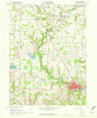
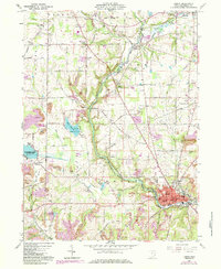
Editions of this 1960 Lisbon Map
4 editions found
Other maps of this area

1904 · Wellsville
USGS Topo · 1:62,500

1905 · Salineville
USGS Topo · 1:62,500

1907 · Columbiana
USGS Topo · 1:62,500

1909 · Lisbon
USGS Topo · 1:62,500

1909 · Columbiana
USGS Topo · 1:62,500

1937 · Wellsville
USGS Topo · 1:62,500

1944 · Wellsville
USGS Topo · 1:62,500

1951 · Canton
USGS Topo · 1:250,000

1951 · Columbiana
USGS Topo · 1:24,000

1952 · Damascus
USGS Topo · 1:24,000