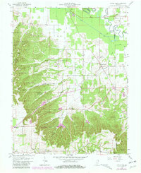
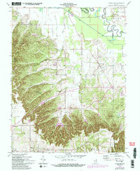
1958 Map of Little York
USGS Topo · Published 1981About this map
Little York and the surrounding townships of Gibson and Franklin are defined by a complex network of narrow hollows and high ridges that shaped early Indiana settlement patterns. The landscape is dotted with small family-named cemeteries and rural churches, such as Mt Carmel Ch and Mt Hebron Ch, which anchor the local genealogical record. Much of the western terrain is preserved within the Jackson-Washington State Forest, where a Lookout Tower once monitored the timbered hills. The map highlights a significant transition in land use, showing the establishment of the Elk Creek Fish and Game Area and the protection of the Muscatatuck River watershed. Small hamlets like Pumpkin Center and New Philadelphia reflect the agricultural roots of the region, while drainage features like Ox Ditch and Thomas Ditch show the long-term efforts to manage the river bottomlands.
Find a feature on this map
52 named features on this map. Tap any name to fly to it.
Don’t see what you’re looking for? This feature index may not catch every label — zoom into the map to look around manually.
Map Details
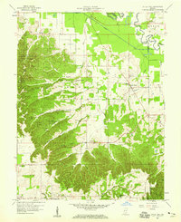
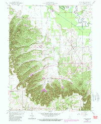
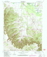
Editions of this 1958 Little York Map
6 editions found
Other maps of this area

1947 · Scottsburg
USGS Topo · 1:24,000

1949 · Henryville
USGS Topo · 1:24,000

1950 · Salem
USGS Topo · 1:24,000

1953 · Kossuth
USGS Topo · 1:24,000

1955 · South Boston
USGS Topo · 1:24,000

1956 · Vincennes
USGS Topo · 1:250,000

1956 · Louisville
USGS Topo · 1:250,000

1957 · Vincennes
USGS Topo · 1:250,000

1958 · Vincennes
USGS Topo · 1:250,000

1958 · Little York
USGS Topo · 1:24,000