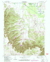
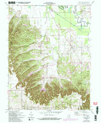
1958 Map of Little York
USGS Topo · Published 1993About this map
Little York and its surrounding rural townships sit at the transition between the lowlands of the Muscatatuck River and the high, broken ridges of southern Indiana. This 1958 survey captures the agricultural and timber-based landscape before modern expansion, dominated by large tracts like the Jackson-Washington State Forest and the Clark State Forest. The map is particularly dense with features for genealogists, showing numerous country churches and family-named cemeteries such as McKnight Cem and Grace Cem.
Find a feature on this map
40 named features on this map. Tap any name to fly to it.
Don’t see what you’re looking for? This feature index may not catch every label — zoom into the map to look around manually.
Map Details
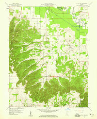
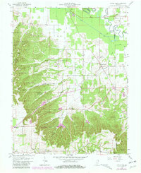
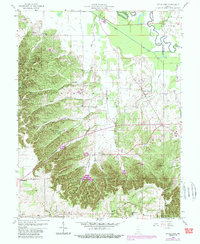
Editions of this 1958 Little York Map
6 editions found
Other maps of this area

1947 · Scottsburg
USGS Topo · 1:24,000

1949 · Henryville
USGS Topo · 1:24,000

1950 · Salem
USGS Topo · 1:24,000

1953 · Kossuth
USGS Topo · 1:24,000

1955 · South Boston
USGS Topo · 1:24,000

1956 · Vincennes
USGS Topo · 1:250,000

1956 · Louisville
USGS Topo · 1:250,000

1957 · Vincennes
USGS Topo · 1:250,000

1958 · Vincennes
USGS Topo · 1:250,000

1958 · Little York
USGS Topo · 1:24,000