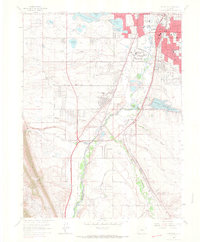
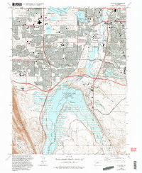
1965 Map of Littleton
USGS Topo · Published 1967About this map
The South Platte River corridor south of Denver appears here in the mid-1960s, a landscape in transition from ranching and agricultural roots to suburban expansion. The core of Littleton is shown in detail, including its schools and the prominent Centennial Racetrack. To the south, smaller communities like Blakeland and Acequia sit along the dual tracks of the Denver and Rio Grande Western RR and the Atchison Topeka and Santa Fe RR. The reliance on water management is evident through the extensive network of irrigation and municipal features, including the Highline Canal, the City Ditch, and the Denver Municipal Water Aqueduct. To the west, the distinctive ridge of the Hogback rises above the Columbine Airpark, while the development of Columbine Valley marks the growth of residential enclaves centered around reclaimed reservoir lands like Bowles Lake.
Find a feature on this map
60 named features on this map. Tap any name to fly to it.
Don’t see what you’re looking for? This feature index may not catch every label — zoom into the map to look around manually.
Map Details
Editions of this 1965 Littleton Map
5 editions found
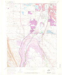
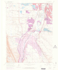
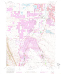
Other maps of this area

1890 · East Denver
USGS Topo · 1:125,000

1893 · Platte Canyon
USGS Topo · 1:125,000

1894 · Castle Rock
USGS Topo · 1:125,000

1899 · West Denver
USGS Topo · 1:125,000

1913 · Castle Rock
USGS Topo · 1:125,000

1935 · East Denver Nos. 3 and 4
USGS Topo · 1:48,000

1938 · Morrison
USGS Topo · 1:24,000

1940 · Englewood
USGS Topo · 1:31,680

1940 · Castle Rock
USGS Topo · 1:62,500

1941 · Fort Logan
USGS Topo · 1:31,680