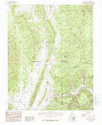
1983 Map of Llaves
USGS Topo · Published 1987About this map
Santa Fe National Forest land dominates this high-altitude landscape in Rio Arriba County, where the high peaks of the Gallina Mountain range provide a dramatic backdrop for the small settlement of Llaves. The area's water sources are meticulously documented, ranging from the Rio Gallina to numerous isolated springs like Alkali Spr, Mud Spring, and Dead Horse Spr. These points of permanent water were essential for grazing and survival in this arid terrain.
Find a feature on this map
25 named features on this map. Tap any name to fly to it.
Don’t see what you’re looking for? This feature index may not catch every label — zoom into the map to look around manually.
Map Details
Editions of this 1983 Llaves Map
2 editions found
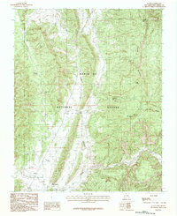
Other maps of this area

1909 · Gallina
USGS Topo · 1:125,000

1953 · Laguna Peak
USGS Topo · 1:24,000

1953 · Navajo Peak
USGS Topo · 1:24,000

1954 · Aztec
USGS Topo · 1:250,000

1955 · Llaves
USGS Topo · 1:62,500

1955 · Tierra Amarilla
USGS Topo · 1:62,500

1955 · Boulder Lake
USGS Topo · 1:62,500

1958 · Aztec
USGS Topo · 1:250,000

1962 · Aztec
USGS Topo · 1:250,000

1965 · Aztec
USGS Topo · 1:250,000