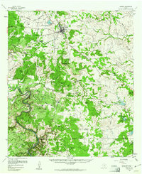
1959 Map of Lometa
USGS Topo · Published 1961About this map
The Lometa township serves as a central hub at the junction of the Gulf Colorado and Santa Fe railroad lines, marking a landscape defined by the winding course of the Colorado River. This late-1950s survey documents the transition from established ranching operations like the Jackson Ranch and Smith Ranch to industrial quarrying, notably at the Southwest Ledge Quarries. The terrain is characterized by dramatic elevation changes, from the heights of Knight Mountain and Messanger Mtn down to the river’s edge at Gorman Falls.
Find a feature on this map
80 named features on this map. Tap any name to fly to it.
Don’t see what you’re looking for? This feature index may not catch every label — zoom into the map to look around manually.
Map Details
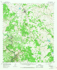
Editions of this 1959 Lometa Map
2 editions found
Other maps of this area

1885 · San Saba
USGS Topo · 1:125,000

1887 · Llano
USGS Topo · 1:125,000

1887 · Lampasas
USGS Topo · 1:125,000

1887 · Burnet
USGS Topo · 1:125,000

1893 · Burnet
USGS Topo · 1:125,000

1894 · Lampasas
USGS Topo · 1:125,000

1894 · San Saba
USGS Topo · 1:125,000

1894 · Llano
USGS Topo · 1:125,000

1903 · Burnet
USGS Topo · 1:125,000

1904 · Llano
USGS Topo · 1:125,000