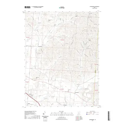
2019 Map of Londonderry
USGS Topo · Published 2019About this map
Londonderry and its surrounding townships in Ross County are defined by a complex landscape of ridges and deep hollows, where early settlement patterns followed the winding course of Walnut Creek and Salt Creek. The map reveals a high concentration of family and community burial sites, such as Londonderry Cem, Peecher Cem, and Schooley Station Cem, which serve as vital markers for local genealogical research. Small crossroads like Tucson and Schooley punctuate the rural terrain, while the extensive Tar Hollow Bridle System and the N Country National Scenic Trail wind through the hills near Lipscomb Hollow. This 2019 survey documents a region where modern trail systems coexist with established agriculture and historic family landmarks like Rattlesnake Knob and Twin Knobs.
Find a feature on this map
82 named features on this map. Tap any name to fly to it.
Don’t see what you’re looking for? This feature index may not catch every label — zoom into the map to look around manually.
Map Details
Editions of this 2019 Londonderry Map
This is the sole edition of this map. No revisions or reprints were ever made.
Other maps of this area

1906 · Waverly
USGS Topo · 1:62,500

1906 · Chillicothe
USGS Topo · 1:62,500

1908 · Chillicothe
USGS Topo · 1:62,500

1908 · Waverly
USGS Topo · 1:62,500

1910 · Laurelville
USGS Topo · 1:62,500

1912 · Laurelville
USGS Topo · 1:62,500

1913 · Jackson
USGS Topo · 1:62,500

1944 · Jackson
USGS Topo · 1:62,500

1944 · Laurelville
USGS Topo · 1:62,500

1947 · Columbus
USGS Topo · 1:250,000