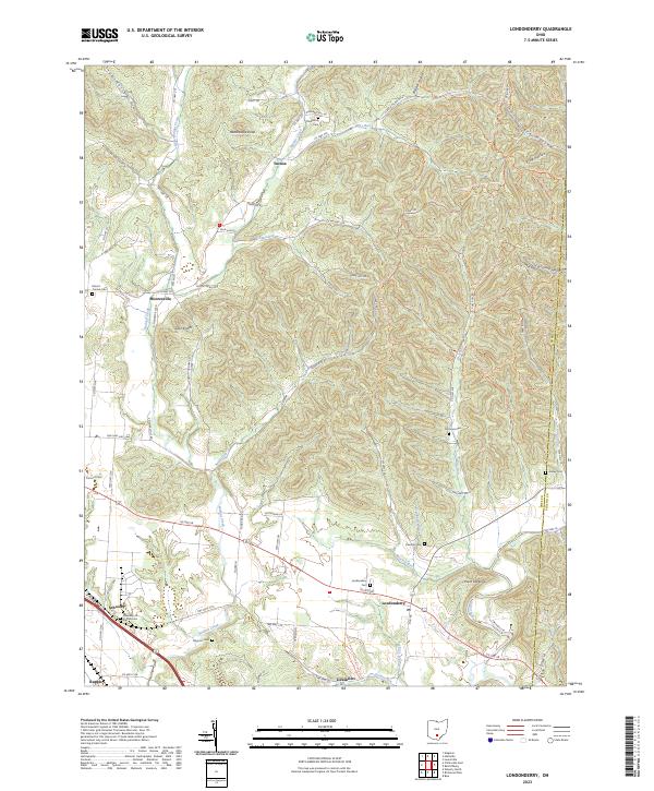
2023 Map of Londonderry
USGS Topo · Published 2023About this map
The Londonderry settlement and its surrounding rural townships in Ross County define this landscape, where the foothills meet the drainage basins of Salt Creek and Walnut Creek. Long-established communities such as Mooresville, Schooley, and the small cluster at Tucson are connected by a web of county and township roads like Stanhope Rd and Dunkard Hill Rd. This area is particularly rich for genealogical research, documenting numerous burial sites including Charleston Cem, Schooley Station Cem, and the Londonderry Cem. Modern recreational footprints are also visible, with the Buckeye Trail and North Country National Scenic Trail winding through the eastern hills near Point Lookout. The terrain is marked by distinct geological features like Rattlesnake Knob and the Twin-Knobs, which rise above the hollows and runs that feed into the local creek systems.
Find a feature on this map
91 named features on this map. Tap any name to fly to it.
Don’t see what you’re looking for? This feature index may not catch every label — zoom into the map to look around manually.
Map Details
Editions of this 2023 Londonderry Map
This is the sole edition of this map. No revisions or reprints were ever made.
Other maps of this area

1906 · Waverly
USGS Topo · 1:62,500

1906 · Chillicothe
USGS Topo · 1:62,500

1908 · Chillicothe
USGS Topo · 1:62,500

1908 · Waverly
USGS Topo · 1:62,500

1910 · Laurelville
USGS Topo · 1:62,500

1912 · Laurelville
USGS Topo · 1:62,500

1913 · Jackson
USGS Topo · 1:62,500

1944 · Jackson
USGS Topo · 1:62,500

1944 · Laurelville
USGS Topo · 1:62,500

1947 · Columbus
USGS Topo · 1:250,000