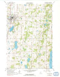
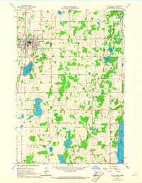
1966 Map of Long Prairie
USGS Topo · Published 1991About this map
The Northern Pacific railroad corridor anchors the community of Long Prairie, serving as a primary transit spine through this central Minnesota landscape in the mid-1960s. The town's layout is well-defined, featuring a grid of residential streets, a Radio Tower, and social infrastructure such as the Lutheran Cem and St Mary Cem. Cultural landmarks of the mid-century era are visible, including a Drive-in Theater situated on the outskirts of town and several gravel pits that indicate the local industrial base.
Find a feature on this map
32 named features on this map. Tap any name to fly to it.
Don’t see what you’re looking for? This feature index may not catch every label — zoom into the map to look around manually.
Map Details
Editions of this 1966 Long Prairie Map
2 editions found
Other maps of this area

1948 · Cushing
USGS Topo · 1:62,500

1950 · Swanville
USGS Topo · 1:62,500

1950 · Cushing
USGS Topo · 1:62,500

1953 · Brainerd
USGS Topo · 1:250,000

1953 · Saint Cloud
USGS Topo · 1:250,000

1957 · Brainerd
USGS Topo · 1:250,000

1957 · Saint Cloud
USGS Topo · 1:250,000

1958 · Saint Cloud
USGS Topo · 1:250,000

1958 · Brainerd
USGS Topo · 1:250,000

1965 · Brainerd
USGS Topo · 1:250,000