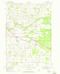
1969 Map of Loomis
USGS Topo · Published 1972About this map
The Wise Oil Field and the central junction of the Chesapeake and Ohio railroad define the landscape of this Isabella and Clare County border region. Settled areas like Loomis and Herrick are positioned along the rail lines, reflecting the mid-century intersection of transportation and resource extraction. The northern portion of the map transitions into the townships of Sheridan and Vernon, where the South Branch Tobacco River winds through agricultural lands punctuated by local landmarks like Colonville and the Clare Municipal Airport.
Find a feature on this map
36 named features on this map. Tap any name to fly to it.
Don’t see what you’re looking for? This feature index may not catch every label — zoom into the map to look around manually.
Map Details
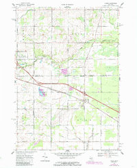
Editions of this 1969 Loomis Map
2 editions found
Other maps of this area

1916 · Mount Pleasant
USGS Topo · 1:62,500

1919 · Mount Pleasant
USGS Topo · 1:62,500

1930 · Shepherd
USGS Topo · 1:48,000

1936 · Shepherd
USGS Topo · 1:62,500

1943 · Mount Pleasant
USGS Topo · 1:62,500

1954 · Midland
USGS Topo · 1:250,000

1958 · Midland
USGS Topo · 1:250,000

1959 · Midland
USGS Topo · 1:250,000

1959 · Clare
USGS Topo · 1:62,500

1966 · Midland
USGS Topo · 1:250,000