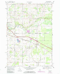
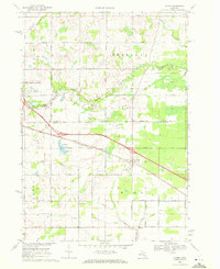
1969 Map of Loomis
USGS Topo · Published 1985About this map
The Loomis settlement serves as a primary hub for this mid-Michigan landscape, situated at the intersection of the Chesapeake and Ohio railroad and the Saginaw and Ohio line. This 1969 survey illustrates a region where agriculture and resource extraction meet, notably at the Wise Oil Field and various Oil Well sites scattered throughout the townships of Wise and Sheridan. The southern portion of the map is defined by the Isabella Indian Reservation Boundary, reflecting complex land use and jurisdictional patterns.
Find a feature on this map
43 named features on this map. Tap any name to fly to it.
Don’t see what you’re looking for? This feature index may not catch every label — zoom into the map to look around manually.
Map Details
Editions of this 1969 Loomis Map
2 editions found
Other maps of this area

1916 · Mount Pleasant
USGS Topo · 1:62,500

1919 · Mount Pleasant
USGS Topo · 1:62,500

1930 · Shepherd
USGS Topo · 1:48,000

1936 · Shepherd
USGS Topo · 1:62,500

1943 · Mount Pleasant
USGS Topo · 1:62,500

1954 · Midland
USGS Topo · 1:250,000

1958 · Midland
USGS Topo · 1:250,000

1959 · Midland
USGS Topo · 1:250,000

1959 · Clare
USGS Topo · 1:62,500

1966 · Midland
USGS Topo · 1:250,000