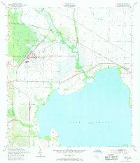
1952 Map of Lorida
USGS Topo · Published 1968About this map
Lake Istokpoga dominates this central Florida landscape in the early 1950s, its shoreline punctuated by Yellow Bluff and the large Big Island. This area in Highlands County shows the transition from the expansive waters of the lake to the complex network of surrounding wetlands and creeks, including Arbuckle Creek and Josephine Creek. The settlement of Lorida sits near the eastern shore, served by the Sunnyland Ch and the Seaboard Air Line railroad.
Find a feature on this map
18 named features on this map. Tap any name to fly to it.
Don’t see what you’re looking for? This feature index may not catch every label — zoom into the map to look around manually.
Map Details
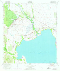
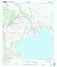
Editions of this 1952 Lorida Map
4 editions found
Other maps of this area

1952 · Fort Kissimmee
USGS Topo · 1:24,000

1952 · Lake Placid
USGS Topo · 1:24,000

1952 · Lake Arbuckle SW
USGS Topo · 1:24,000

1952 · Lake Arbuckle SE
USGS Topo · 1:24,000

1952 · Lorida
USGS Topo · 1:24,000

1952 · Sebring
USGS Topo · 1:24,000

1953 · Lake June In Winter
USGS Topo · 1:24,000

1953 · Basinger SW
USGS Topo · 1:24,000

1953 · Basinger NW
USGS Topo · 1:24,000

1956 · Fort Pierce
USGS Topo · 1:250,000