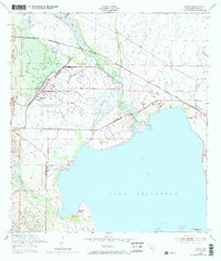
1952 Map of Lorida
USGS Topo · Published 1973About this map
Lake Istokpoga dominates this central Florida landscape, its northeastern shoreline defined by the inflow of Arbuckle Creek and the southern reaches of the Seaboard Coast Line railroad. The settlement of Lorida serves as a local hub near the water, while the Sunnyland Ch and nearby residential blocks indicate the early 1950s development pattern of the Highlands region.
Find a feature on this map
11 named features on this map. Tap any name to fly to it.
Don’t see what you’re looking for? This feature index may not catch every label — zoom into the map to look around manually.
Map Details
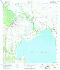
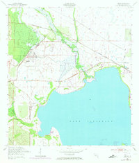
Editions of this 1952 Lorida Map
4 editions found
Other maps of this area

1952 · Fort Kissimmee
USGS Topo · 1:24,000

1952 · Lake Placid
USGS Topo · 1:24,000

1952 · Lake Arbuckle SW
USGS Topo · 1:24,000

1952 · Lake Arbuckle SE
USGS Topo · 1:24,000

1952 · Lorida
USGS Topo · 1:24,000

1952 · Sebring
USGS Topo · 1:24,000

1953 · Lake June In Winter
USGS Topo · 1:24,000

1953 · Basinger SW
USGS Topo · 1:24,000

1953 · Basinger NW
USGS Topo · 1:24,000

1956 · Fort Pierce
USGS Topo · 1:250,000