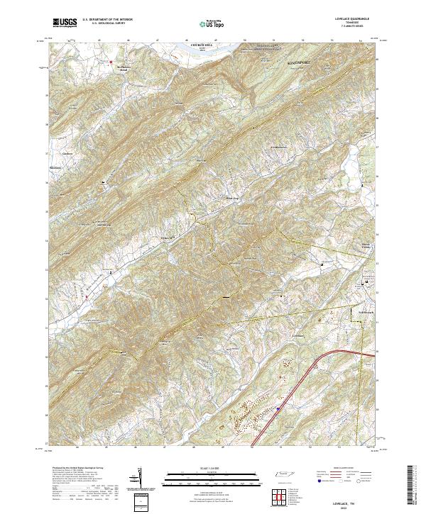
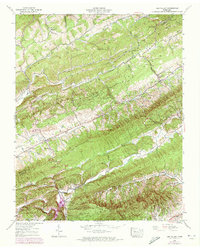
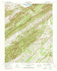
2022 Map of Lovelace
USGS Topo · Published 2022About this map
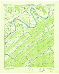
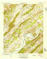
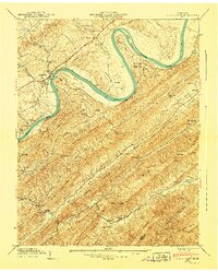
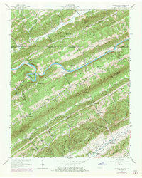
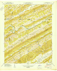
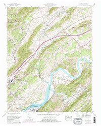
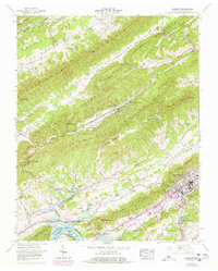
The Holston River and the waters of Cherokee Lake define the northern reaches of this East Tennessee landscape, where the ridges of Bays Mountain create a series of distinct valleys and gaps. The map documents the rural character of the region, anchored by settlements such as Goshen, Blair Gap, and Lovelace. Of particular interest to local historians are the numerous family and community burial grounds, including Yankee Cem, Morrison Cem, and Oak Glenn Union Cem.
Find a feature on this map
124 named features on this map. Tap any name to fly to it.
Don’t see what you’re looking for? This feature index may not catch every label — zoom into the map to look around manually.
Map Details
Editions of this 2022 Lovelace Map
This is the sole edition of this map. No revisions or reprints were ever made.
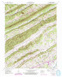
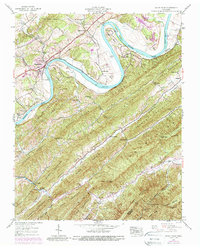
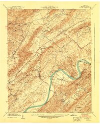
Historical Maps of McPheeter Bend Through Time
28 maps found
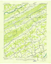
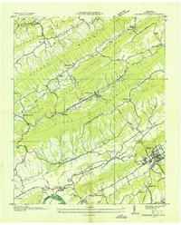
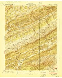
1935 Burem
Hawkins County, TN
1935 Lee Valley
Hawkins County, TN

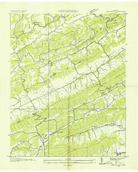
1935 Looneys Gap
Hawkins County, TN

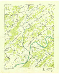
1935 Lovelace
Hawkins County, TN
1935 Plum Grove
Hawkins County, TN
1935 Pressmens Home
Hawkins County, TN
1935 Stonypoint
Hawkins County, TN
1939 Burem
Hawkins County, TN
1939 Lee Valley
Hawkins County, TN
1939 Lovelace
Hawkins County, TN
1939 Plum Grove
Hawkins County, TN
1939 Stony Point
Hawkins County, TN
1940 Burem
Hawkins County, TN
1940 Lee Valley
Hawkins County, TN
1940 Pressmens Home
Hawkins County, TN
1940 Stony Point
Hawkins County, TN
1947 Looneys Gap
Hawkins County, TN
1950 Looneys Gap
Hawkins County, TN
1961 Burem
Hawkins County, TN
1961 Camelot
Hawkins County, TN
1976 Looneys Gap
Hawkins County, TN
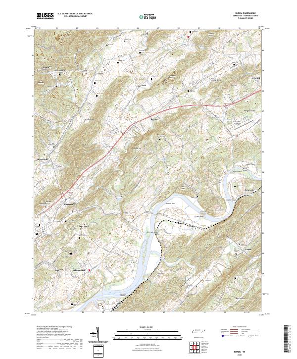
2022 Burem
Hawkins County, TN
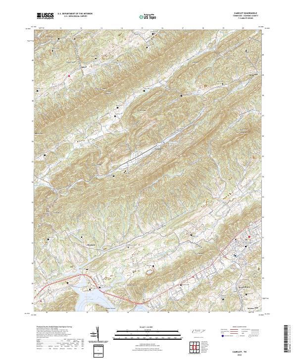
2022 Camelot
Hawkins County, TN
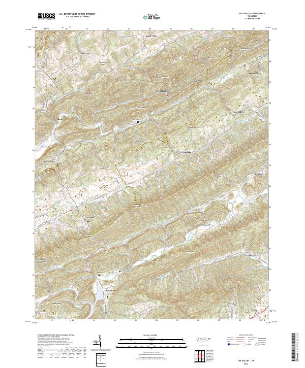
2022 Lee Valley
Hawkins County, TN
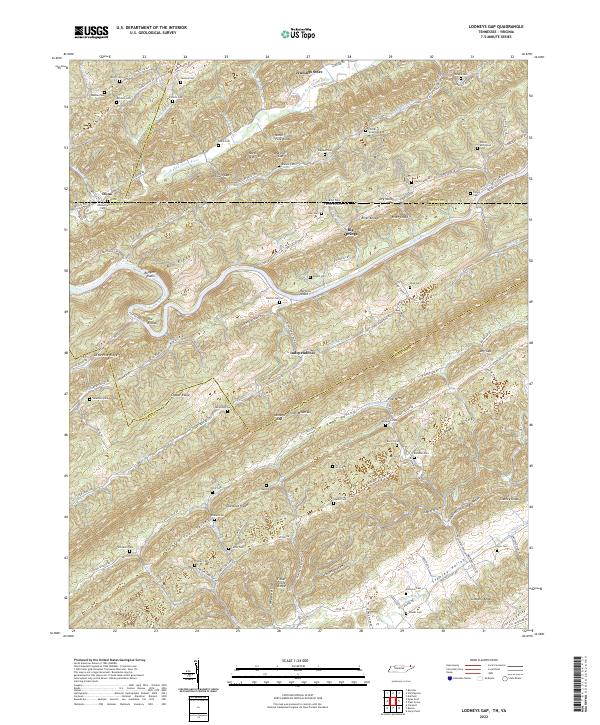
2022 Looneys Gap
Hawkins County, TN
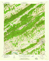
2022 Lovelace
Hawkins County, TN
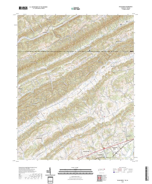
2022 Plum Grove
Hawkins County, TN
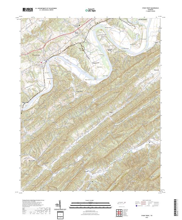
2022 Stony Point
Hawkins County, TN