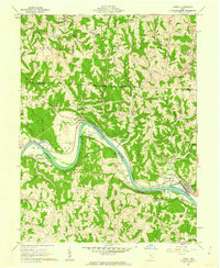
1961 Map of Lowell
USGS Topo · Published 1962About this map
The Muskingum River dominates this early 1960s landscape, carving a deep valley through the dissected plateau of Washington and Noble counties. The twin settlements of Lowell and Upper Lowell sit on the eastern bank, connected by the Baltimore and Ohio railroad which follows the river's curving course. The map reveals an intricate layer of early land divisions, specifically marking the East Boundary of Donation Tract and the Congress Lands North of Scioto River, providing critical spatial context for local genealogists and land title researchers.
Find a feature on this map
56 named features on this map. Tap any name to fly to it.
Don’t see what you’re looking for? This feature index may not catch every label — zoom into the map to look around manually.
Map Details
Editions of this 1961 Lowell Map
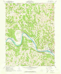
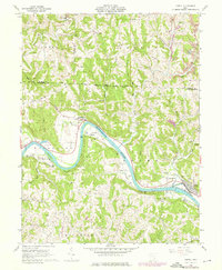
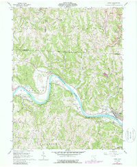
4 editions found
Other maps of this area

1902 · Parkersburg
USGS Topo · 1:62,500

1903 · Macksburg
USGS Topo · 1:62,500

1904 · Parkersburg
USGS Topo · 1:62,500

1904 · Marietta
USGS Topo · 1:62,500

1905 · Macksburg
USGS Topo · 1:62,500

1909 · Caldwell
USGS Topo · 1:62,500

1912 · Caldwell
USGS Topo · 1:62,500

1924 · Marietta
USGS Topo · 1:62,500

1927 · Marietta
USGS Topo · 1:62,500

1949 · Clarksburg
USGS Topo · 1:250,000