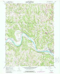
1961 Map of Lowell
USGS Topo · Published 1988About this map
The Muskingum River dominates this landscape as it meanders through the boundary lands of Washington, Morgan, and Noble counties. Along its banks, the settlement of Lowell and the nearby Upper Lowell show a community oriented toward the water and the Baltimore and Ohio rail line. This region, captured in a 1961 survey with 1975 revisions, preserves a transition from river-bottom farming to upland extraction, evidenced by the strip mines appearing in the north near Dungannon.
Find a feature on this map
55 named features on this map. Tap any name to fly to it.
Don’t see what you’re looking for? This feature index may not catch every label — zoom into the map to look around manually.
Map Details
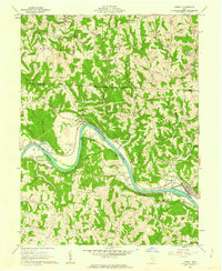
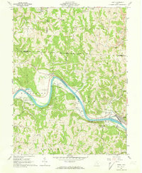
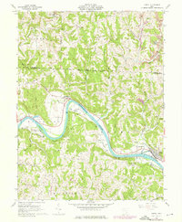
Editions of this 1961 Lowell Map
4 editions found
Other maps of this area

1902 · Parkersburg
USGS Topo · 1:62,500

1903 · Macksburg
USGS Topo · 1:62,500

1904 · Parkersburg
USGS Topo · 1:62,500

1904 · Marietta
USGS Topo · 1:62,500

1905 · Macksburg
USGS Topo · 1:62,500

1909 · Caldwell
USGS Topo · 1:62,500

1912 · Caldwell
USGS Topo · 1:62,500

1924 · Marietta
USGS Topo · 1:62,500

1927 · Marietta
USGS Topo · 1:62,500

1949 · Clarksburg
USGS Topo · 1:250,000