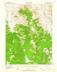
1955 Map of Loyalton
USGS Topo · Published 1960About this map
The Sierra Valley floor meets the heavily timbered slopes of the Tahoe National Forest and Toiyabe National Forest in this mid-century survey of the California-Nevada borderlands. The city of Loyalton serves as the primary hub, where the Western Pacific railroad tracks pass near a local hospital and sawmill, reflecting the region’s historical reliance on timber and transit. Further into the mountains, the landscape is dotted with isolated outposts like Staverville and working sites such as Old Fish Farm, Balla Ranch, and Wheelers Sheep Camp.
Find a feature on this map
67 named features on this map. Tap any name to fly to it.
Don’t see what you’re looking for? This feature index may not catch every label — zoom into the map to look around manually.
Map Details
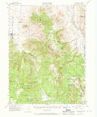
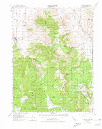
Editions of this 1955 Loyalton Map
4 editions found

Other maps of this area

1890 · Sierraville
USGS Topo · 1:125,000

1891 · Carson
USGS Topo · 1:125,000

1891 · Truckee
USGS Topo · 1:125,000

1891 · Reno
USGS Topo · 1:125,000

1892 · Sierraville
USGS Topo · 1:125,000

1893 · Carson
USGS Topo · 1:125,000

1893 · Truckee
USGS Topo · 1:125,000

1893 · Reno
USGS Topo · 1:125,000

1894 · Sierraville
USGS Topo · 1:125,000

1895 · Truckee
USGS Topo · 1:125,000