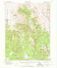
1955 Map of Loyalton
USGS Topo · Published 1969About this map
The Sierra Valley floor at Loyalton gives way to the high timber of the Tahoe National Forest and Toiyabe National Forest in this mid-century topographic survey. The high mountain landscape is defined by the Bald Mountain Range and peaks such as Haskell Peak and Babbitt Peak, which provided strategic locations for the Crystal Peak Guard Sta and Lewis Mill Guard Sta.
Find a feature on this map
81 named features on this map. Tap any name to fly to it.
Don’t see what you’re looking for? This feature index may not catch every label — zoom into the map to look around manually.
Map Details
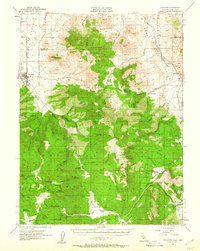
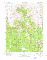
Editions of this 1955 Loyalton Map
4 editions found

Other maps of this area

1890 · Sierraville
USGS Topo · 1:125,000

1891 · Carson
USGS Topo · 1:125,000

1891 · Truckee
USGS Topo · 1:125,000

1891 · Reno
USGS Topo · 1:125,000

1892 · Sierraville
USGS Topo · 1:125,000

1893 · Carson
USGS Topo · 1:125,000

1893 · Truckee
USGS Topo · 1:125,000

1893 · Reno
USGS Topo · 1:125,000

1894 · Sierraville
USGS Topo · 1:125,000

1895 · Truckee
USGS Topo · 1:125,000