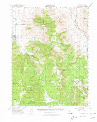
1955 Map of Loyalton
USGS Topo · Published 1980About this map
The Sierra Valley and the surrounding timberlands of the Tahoe National Forest define this mid-century look at the California-Nevada borderlands. The city of Loyalton serves as the primary hub, marked by its hospital and local sawmill, while the Western Pacific railroad cuts through the northeastern corner near Peavine and Antelope. The landscape is a network of high-altitude valleys and peaks, where the Toiyabe Range and Bald Mountain Range overlook historic transit routes like the Henness Pass Road.
Find a feature on this map
94 named features on this map. Tap any name to fly to it.
Don’t see what you’re looking for? This feature index may not catch every label — zoom into the map to look around manually.
Map Details
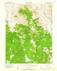
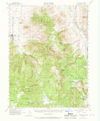
Editions of this 1955 Loyalton Map
4 editions found

Other maps of this area

1890 · Sierraville
USGS Topo · 1:125,000

1891 · Carson
USGS Topo · 1:125,000

1891 · Truckee
USGS Topo · 1:125,000

1891 · Reno
USGS Topo · 1:125,000

1892 · Sierraville
USGS Topo · 1:125,000

1893 · Carson
USGS Topo · 1:125,000

1893 · Truckee
USGS Topo · 1:125,000

1893 · Reno
USGS Topo · 1:125,000

1894 · Sierraville
USGS Topo · 1:125,000

1895 · Truckee
USGS Topo · 1:125,000