
1943 Map of Ludowici
USGS Topo · Published 1943About this map
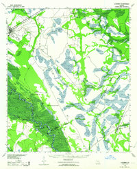
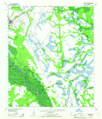
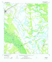
Ludowici serves as a central hub in the early 1940s, situated at the junction of the Atlantic Coast Line and various regional roads. The landscape is defined by the heavy meandering of the Altamaha River, which carves a complex path through the Holloway Swamp and Phin Swamp. Local river navigation and hazards are uniquely noted by features such as the Wreck of Louise near Bug Bluff, and specific river bends with names like Sister Pine Round and Rag Round.
Find a feature on this map
36 named features on this map. Tap any name to fly to it.
Don’t see what you’re looking for? This feature index may not catch every label — zoom into the map to look around manually.
Map Details
Editions of this 1943 Ludowici Map
4 editions found
Other maps of this area

1918 · Jesup
USGS Topo · 1:62,500

1918 · Hortense
USGS Topo · 1:62,500

1918 · Hinesville
USGS Topo · 1:62,500

1918 · Everett City
USGS Topo · 1:62,500

1920 · Glennville
USGS Topo · 1:62,500

1920 · Sapelo River
USGS Topo · 1:62,500

1920 · Limerick
USGS Topo · 1:62,500

1920 · Everett City
USGS Topo · 1:62,500

1921 · Darien
USGS Topo · 1:62,500

1943 · Jesup
USGS Topo · 1:62,500