
1903 Map of Luzerne
USGS Topo · Published 1903About this map
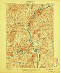
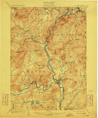
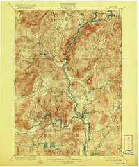
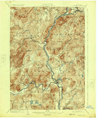
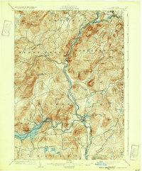
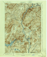
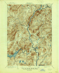
The confluence of the Hudson River and the Sacandaga River anchors this 1903 survey, capturing the industrial and geographical heart of southern Warren County. Two primary settlements, Luzerne and Hadley, sit at the critical junction where the rivers meet, a site shaped by the winding route of the Adirondack Hudson River railroad. This rail line tracks the river's path northward toward Stony Creek and Athol, reflecting the era's reliance on water-level routes for transport through the dense peaks of the Luzerne Mountains.
Find a feature on this map
56 named features on this map. Tap any name to fly to it.
Don’t see what you’re looking for? This feature index may not catch every label — zoom into the map to look around manually.
Map Details
Editions of this 1903 Luzerne Map
8 editions found
Other maps of this area

1895 · North Creek
USGS Topo · 1:62,500

1895 · Glens Falls
USGS Topo · 1:62,500

1897 · Bolton
USGS Topo · 1:62,500

1897 · Glens Falls
USGS Topo · 1:62,500

1897 · North Creek
USGS Topo · 1:62,500

1898 · Thirteenth Lake
USGS Topo · 1:62,500

1899 · Broadalbin
USGS Topo · 1:62,500

1900 · Bolton
USGS Topo · 1:62,500

1900 · Schuylerville
USGS Topo · 1:62,500

1902 · Broadalbin
USGS Topo · 1:62,500