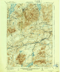
1913 Map of Lyon Mountain
USGS Topo · Published 1939About this map
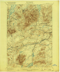
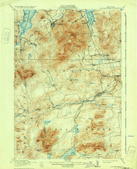
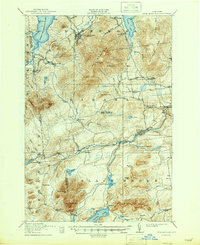
Lyon Mountain dominates this Adirondack landscape, serving as a focal point for the surrounding industrial and residential clusters of the early twentieth century. The Hudson and Delaware RR cuts through the northern high country, linking the mining settlement at Lyon Mountain to the outside world. To the east and south, the Saranac River and its branches provide the geographic spine for several small hamlets, including Redford, Clayburg, and Riverview.
Find a feature on this map
82 named features on this map. Tap any name to fly to it.
Don’t see what you’re looking for? This feature index may not catch every label — zoom into the map to look around manually.
Map Details
Editions of this 1913 Lyon Mountain Map
5 editions found

Other maps of this area

1895 · Mooers
USGS Topo · 1:62,500

1895 · Ausable
USGS Topo · 1:62,500

1896 · Lake Placid
USGS Topo · 1:62,500

1898 · Lake Placid
USGS Topo · 1:62,500

1899 · Mooers
USGS Topo · 1:62,500

1902 · Saranac
USGS Topo · 1:62,500

1903 · Ausable
USGS Topo · 1:62,500

1904 · Saranac
USGS Topo · 1:62,500

1906 · Loon Lake
USGS Topo · 1:62,500

1908 · Loon Lake
USGS Topo · 1:62,500