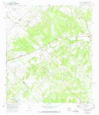
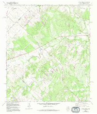
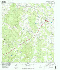
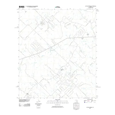
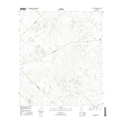
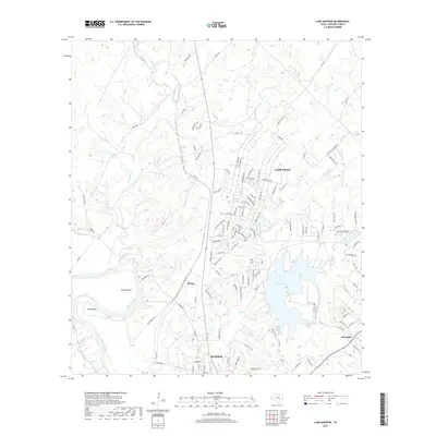
1968 Map of Lytton Springs
USGS Topo · Published 1975About this map
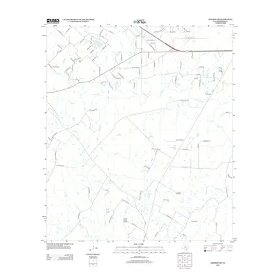
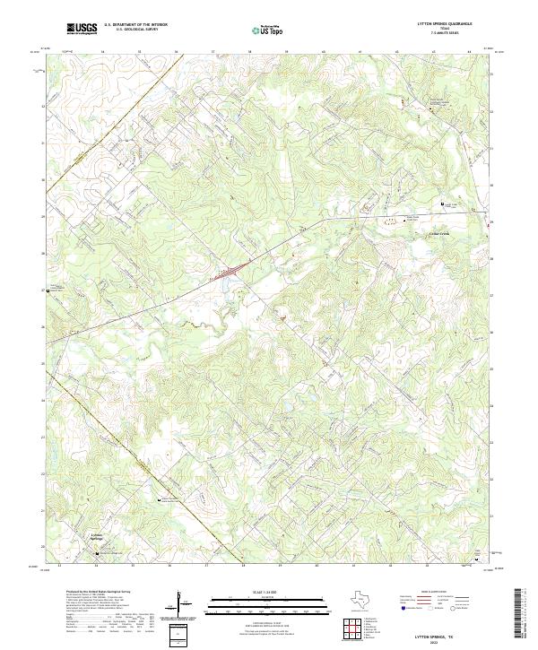
Lytton Springs sits at the southern edge of this Central Texas landscape, where the rolling prairies of Bastrop and Caldwell counties are defined by a network of seasonal drainages. The influence of the Elroy Oil Field is evident through numerous Oil Wells and Drill Holes scattered across the terrain, indicating the mid-century petroleum activity in the area. Local community life is anchored by Saint Marys Ch and its adjacent Saint Marys Community Center, while the presence of the U S Military Reservation and a National Guard Armory adds a distinctive federal footprint to the rural setting.
Find a feature on this map
26 named features on this map. Tap any name to fly to it.
Don’t see what you’re looking for? This feature index may not catch every label — zoom into the map to look around manually.
Map Details
Editions of this 1968 Lytton Springs Map
3 editions found
Historical Maps of Lytton Springs Through Time
54 maps found
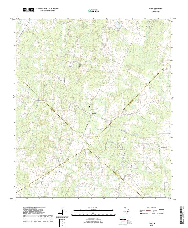
1964 Jeddo
Bastrop County, TX
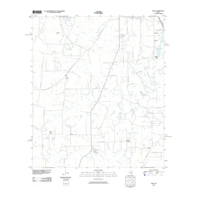
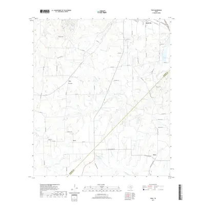
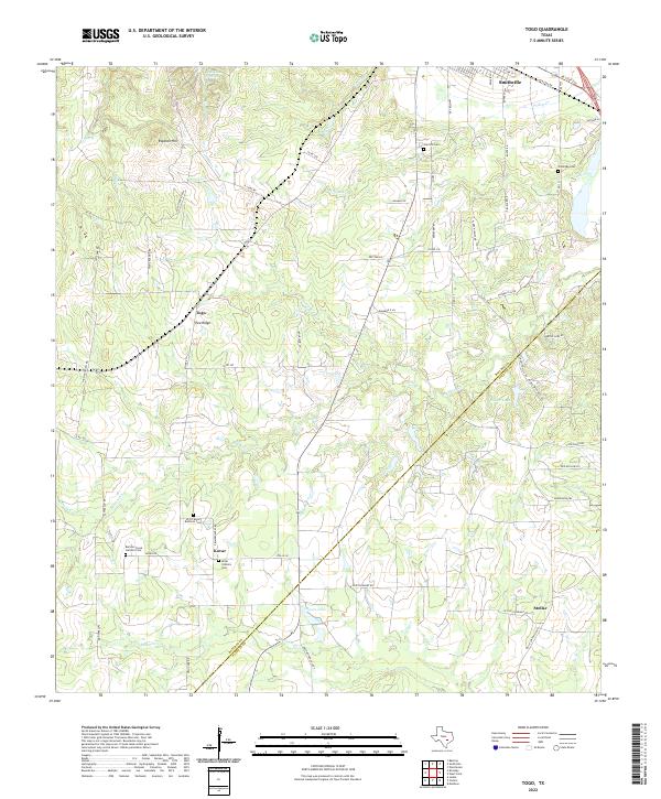
1964 Togo
Bastrop County, TX
1968 Lytton Springs
Bastrop County, TX
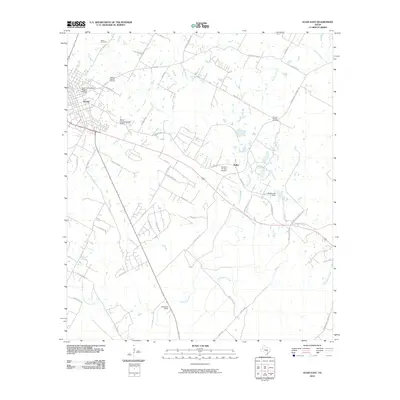
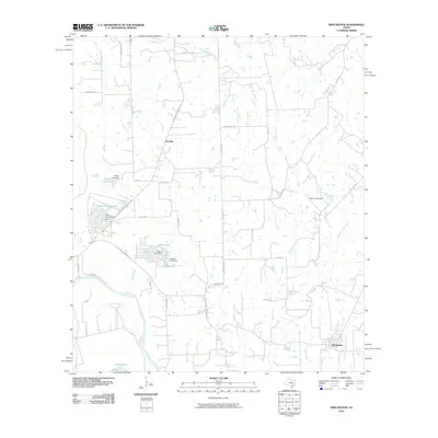
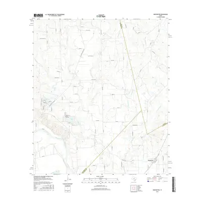
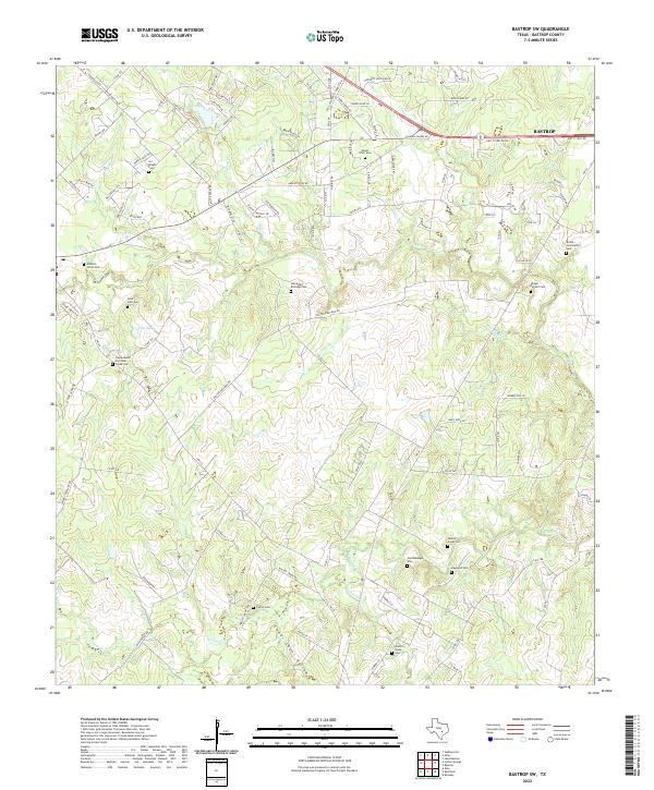
1982 Bastrop SW
Bastrop County, TX
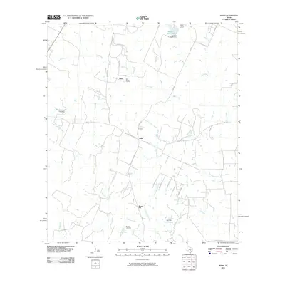
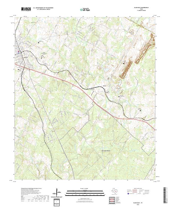
1982 Elgin East
Bastrop County, TX
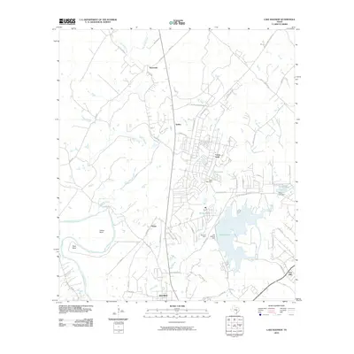
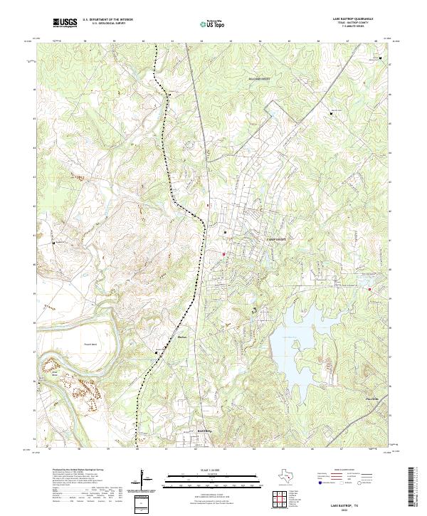
1982 Lake Bastrop
Bastrop County, TX
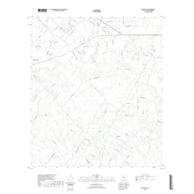
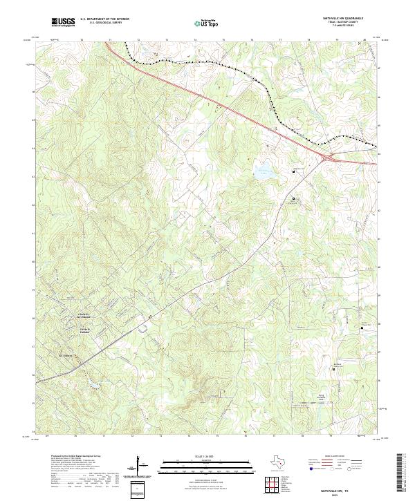
1982 Smithville NW
Bastrop County, TX
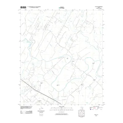
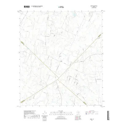
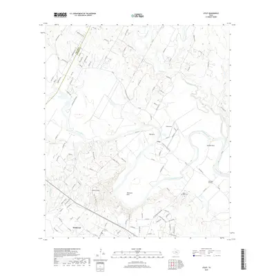
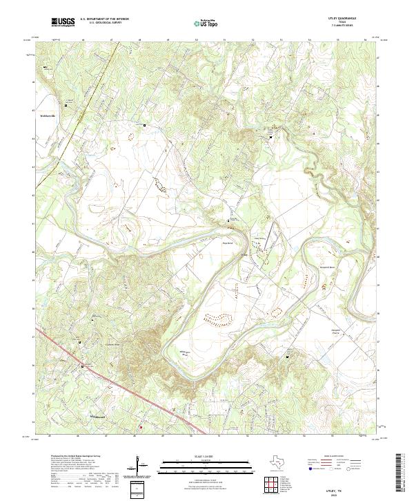
1982 Utley
Bastrop County, TX
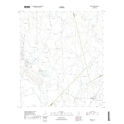
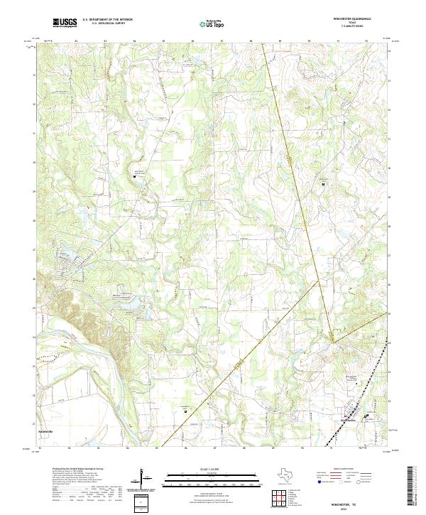
1982 Winchester
Bastrop County, TX
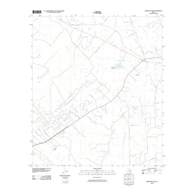
2010 Bastrop SW
Bastrop County, TX
2010 Elgin East
Bastrop County, TX
2010 Jeddo
Bastrop County, TX
2010 Lake Bastrop
Bastrop County, TX
2010 Lytton Springs
Bastrop County, TX
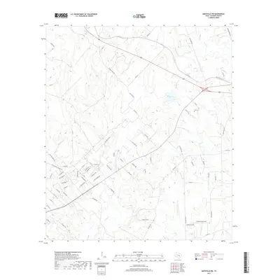
2010 Smithville NW
Bastrop County, TX
2010 Togo
Bastrop County, TX
2010 Utley
Bastrop County, TX
2010 Winchester
Bastrop County, TX
2012 Bastrop SW
Bastrop County, TX
2012 Elgin East
Bastrop County, TX
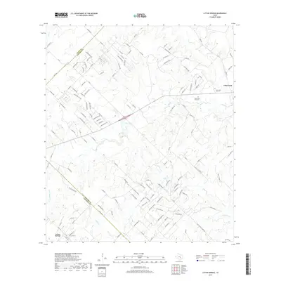
2012 Lytton Springs
Bastrop County, TX
2012 Smithville NW
Bastrop County, TX
2013 Jeddo
Bastrop County, TX
2013 Lake Bastrop
Bastrop County, TX
2013 Togo
Bastrop County, TX

2013 Utley
Bastrop County, TX
2013 Winchester
Bastrop County, TX
2016 Bastrop SW
Bastrop County, TX
2016 Elgin East
Bastrop County, TX
2016 Jeddo
Bastrop County, TX
2016 Lake Bastrop
Bastrop County, TX
2016 Lytton Springs
Bastrop County, TX
2016 Smithville NW
Bastrop County, TX
2016 Togo
Bastrop County, TX
2016 Utley
Bastrop County, TX
2016 Winchester
Bastrop County, TX
2019 Bastrop SW
Bastrop County, TX
2019 Elgin East
Bastrop County, TX
2019 Jeddo
Bastrop County, TX
2019 Lake Bastrop
Bastrop County, TX
2019 Lytton Springs
Bastrop County, TX
2019 Smithville NW
Bastrop County, TX
2019 Togo
Bastrop County, TX
2019 Utley
Bastrop County, TX
2019 Winchester
Bastrop County, TX
2022 Bastrop SW
Bastrop County, TX
2022 Elgin East
Bastrop County, TX
2022 Jeddo
Bastrop County, TX
2022 Lake Bastrop
Bastrop County, TX
2022 Lytton Springs
Bastrop County, TX
2022 Smithville NW
Bastrop County, TX
2022 Togo
Bastrop County, TX
2022 Utley
Bastrop County, TX
2022 Winchester
Bastrop County, TX