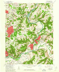
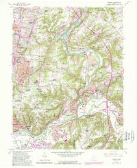
1961 Map of Madeira
USGS Topo · Published 1963About this map
The Little Miami River snakes through the center of this landscape, defining the border between Hamilton and Clermont counties. By the early 1960s, the area shows a distinct transition from the dense residential grid of Madeira and Mariemont toward the wooded hills and estates of Indian Hill. This geography is shaped by the meeting of waterways and heavy rail, as the Norfolk and Western Railroad and Pennsylvania RR follow the river valleys, serving established industrial points like Camp Dennison and Miamiville.
Find a feature on this map
125 named features on this map. Tap any name to fly to it.
Don’t see what you’re looking for? This feature index may not catch every label — zoom into the map to look around manually.
Map Details
Editions of this 1961 Madeira Map
5 editions found
Other maps of this area

1898 · East Cincinnati
USGS Topo · 1:62,500

1904 · Mason
USGS Topo · 1:62,500

1906 · Mason
USGS Topo · 1:62,500

1914 · East Cincinnati
USGS Topo · 1:62,500

1914 · Batavia
USGS Topo · 1:48,000

1914 · Morrow
USGS Topo · 1:62,500

1916 · Batavia
USGS Topo · 1:62,500

1916 · Morrow
USGS Topo · 1:62,500

1952 · Newport
USGS Topo · 1:24,000

1953 · Withamsville
USGS Topo · 1:24,000