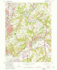
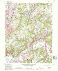
1961 Map of Madeira
USGS Topo · Published 1975About this map
Little Miami River provides the geographical backbone for this eastern Cincinnati suburban landscape, which by the early 1970s showed significant residential expansion into formerly rural areas of Hamilton Co and Clermont Co. The map records a dense network of suburban developments including Montgomery Heights, Berwyn Acres, and Clertoma, alongside older established settlements like Madeira, Mariemont, and Milford.
Find a feature on this map
110 named features on this map. Tap any name to fly to it.
Don’t see what you’re looking for? This feature index may not catch every label — zoom into the map to look around manually.
Map Details
Editions of this 1961 Madeira Map
5 editions found
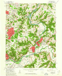
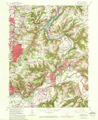
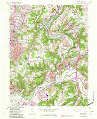
Other maps of this area

1898 · East Cincinnati
USGS Topo · 1:62,500

1904 · Mason
USGS Topo · 1:62,500

1906 · Mason
USGS Topo · 1:62,500

1914 · East Cincinnati
USGS Topo · 1:62,500

1914 · Batavia
USGS Topo · 1:48,000

1914 · Morrow
USGS Topo · 1:62,500

1916 · Batavia
USGS Topo · 1:62,500

1916 · Morrow
USGS Topo · 1:62,500

1952 · Newport
USGS Topo · 1:24,000

1953 · Withamsville
USGS Topo · 1:24,000