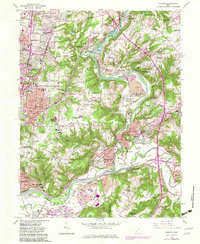
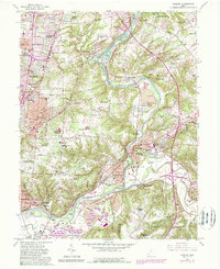
1961 Map of Madeira
USGS Topo · Published 1983About this map
The Little Miami River corridor serves as the primary geographical axis for this 1961 survey, documenting the transition of Hamilton and Clermont counties during a period of significant suburban expansion. The planned community of Mariemont and the village of Madeira anchor the western landscape, while the historic Camp Dennison area occupies the river valley to the east. The map captures a mix of established residential patterns and newer developments like Fairwind Acres and Summerside Estates. A notable cultural footprint is visible through numerous institutions, including the Sacred Heart Novitiate, St Gertrude Sch, and the Perin Drive-in Theater. Rail infrastructure, including the Baltimore and Ohio and lines that would later become Conrail, traces the river's path, highlighting the area's ongoing connection to traditional transportation networks even as modern highway interchanges begin to emerge.
Find a feature on this map
99 named features on this map. Tap any name to fly to it.
Don’t see what you’re looking for? This feature index may not catch every label — zoom into the map to look around manually.
Map Details
Editions of this 1961 Madeira Map
5 editions found
Other maps of this area

1898 · East Cincinnati
USGS Topo · 1:62,500

1904 · Mason
USGS Topo · 1:62,500

1906 · Mason
USGS Topo · 1:62,500

1914 · East Cincinnati
USGS Topo · 1:62,500

1914 · Batavia
USGS Topo · 1:48,000

1914 · Morrow
USGS Topo · 1:62,500

1916 · Batavia
USGS Topo · 1:62,500

1916 · Morrow
USGS Topo · 1:62,500

1952 · Newport
USGS Topo · 1:24,000

1953 · Withamsville
USGS Topo · 1:24,000