
1960 Map of Malakoff
USGS Topo · Published 1961About this map
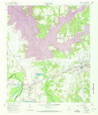
The Trinity River and its meandering bottomlands dominate this 1960 landscape where Henderson and Navarro counties meet. Industrial and municipal growth is centered around Trinidad and Malakoff, connected by the St Louis Southwestern railroad. A heavy industrial presence is clear at the river's edge, marked by a large powerplant and the Texas Power and Light Co Lake. To the northeast, Malakoff appears as a developed hub with a Jr High Sch, Kilman Hospital, and nearby claypits fueling the local economy. The surrounding rural areas are dotted with community landmarks like St Paul Industrial Sch and the Isaac Cem, alongside an extensive network of waterways including Cedar Creek and Caney Creek. Several churches, such as Clear Creek Ch and Mankin Ch, serve the dispersed homesteads and farms that characterize the East Texas terrain before the major reservoir expansions of later decades.
Find a feature on this map
34 named features on this map. Tap any name to fly to it.
Don’t see what you’re looking for? This feature index may not catch every label — zoom into the map to look around manually.
Map Details
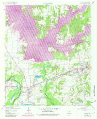
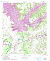
Editions of this 1960 Malakoff Map
4 editions found
Other maps of this area

1920 · Kemp
USGS Topo · 1:62,500

1948 · Martins Mill
USGS Topo · 1:62,500

1949 · Martins Mill
USGS Topo · 1:62,500

1949 · Athens
USGS Topo · 1:62,500

1950 · Athens
USGS Topo · 1:62,500

1954 · Dallas
USGS Topo · 1:250,000

1956 · Tyler
USGS Topo · 1:250,000

1957 · Kemp
USGS Topo · 1:62,500

1958 · Dallas
USGS Topo · 1:250,000

1960 · Tool
USGS Topo · 1:24,000