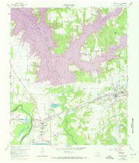
1960 Map of Malakoff
USGS Topo · Published 1973About this map
Cedar Creek Reservoir dominates the northern landscape of this Henderson County quadrangle, where the 1972 photorevisions clearly delineate the expansive reach of the new shoreline over the historical terrain of Clear Creek and Caney Creek. To the south, the industrial character of the region is evident near Trinidad, where the Trinity River meets infrastructure including a Powerplant and the Texas Power and Light Co Lake. The transition from rural homesteads to industrial extraction is marked by several Claypits and a Gravel Pit near Malakoff.
Find a feature on this map
32 named features on this map. Tap any name to fly to it.
Don’t see what you’re looking for? This feature index may not catch every label — zoom into the map to look around manually.
Map Details
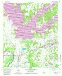
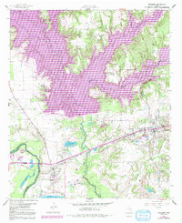
Editions of this 1960 Malakoff Map
4 editions found

Other maps of this area

1920 · Kemp
USGS Topo · 1:62,500

1948 · Martins Mill
USGS Topo · 1:62,500

1949 · Martins Mill
USGS Topo · 1:62,500

1949 · Athens
USGS Topo · 1:62,500

1950 · Athens
USGS Topo · 1:62,500

1954 · Dallas
USGS Topo · 1:250,000

1956 · Tyler
USGS Topo · 1:250,000

1957 · Kemp
USGS Topo · 1:62,500

1958 · Dallas
USGS Topo · 1:250,000

1960 · Tool
USGS Topo · 1:24,000