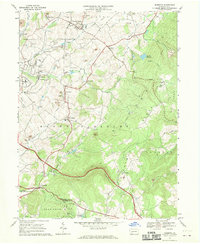
1967 Map of Mammoth
USGS Topo · Published 1970About this map
Mammoth County Park sits at the center of this 1967 survey, surrounded by a landscape defined by the extraction and transport of the Westmoreland County coal region. The terrain is marked by numerous Strip Mines, a Quarry, and extensive Tailings piles near Calumet and Mammoth, evidence of the heavy industrial activity that shaped these communities. The Old Grade Railroad and various spur lines once connected these towns, while the Pennsylvania Turnpike cuts across the southern portion of the sheet near Alice. Local life is anchored by a high density of religious and educational landmarks, including St Lukes Ch, Forty Mourners Ch, and Hurst Jr High Sch. To the east, the elevation rises sharply toward Chestnut Ridge, where a Lookout Tower and St Boniface Chapel overlook Possum Hollow.
Find a feature on this map
61 named features on this map. Tap any name to fly to it.
Don’t see what you’re looking for? This feature index may not catch every label — zoom into the map to look around manually.
Map Details
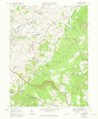
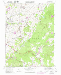
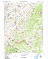
Editions of this 1967 Mammoth Map
4 editions found
Other maps of this area

1900 · Latrobe
USGS Topo · 1:62,500

1902 · Latrobe
USGS Topo · 1:62,500

1902 · Connellsville
USGS Topo · 1:62,500

1903 · Latrobe
USGS Topo · 1:62,500

1904 · Greensburg
USGS Topo · 1:62,500

1906 · Greensburg
USGS Topo · 1:62,500

1922 · Donegal
USGS Topo · 1:62,500

1931 · Connellsville
USGS Topo · 1:62,500

1935 · Donegal
USGS Topo · 1:62,500

1936 · Connellsville
USGS Topo · 1:62,500
Featured Places
- Bullskin Township, PA
- Mount Pleasant Township, PA
- Mammoth, Mount Pleasant Township
- Lycippus, Unity Township
- Trauger, Mount Pleasant Township