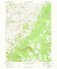
1967 Map of Mammoth
USGS Topo · Published 1973About this map
Kecksburg and the surrounding coal-and-coke landscape of Westmoreland County are depicted in this 1967 survey. The map reveals a transition from industrial exploitation to recreation, marked by the transformation of former mining lands into Mammoth County Park and the appearance of a Drive-in Theater and Golf Course near United. The geography is defined by the steep rise of Chestnut Ridge to the east, where numerous Gas Wells and a Lookout Tower St Boniface sit high above the valley floor. Settlement patterns follow the winding path of Sewickley Creek and the Abandoned Railroad Grade, connecting old company towns like Mammoth, Calumet, and Norvelt. Religious and social life are anchored by institutions such as St Lukes Ch, St Pauls Ch, and the St Florian Sch, while the modern corridor of the Pennsylvania Turnpike cuts through the southern terrain near Laurelville.
Find a feature on this map
61 named features on this map. Tap any name to fly to it.
Don’t see what you’re looking for? This feature index may not catch every label — zoom into the map to look around manually.
Map Details
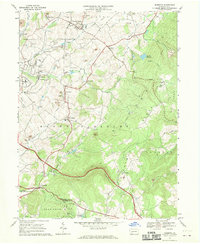
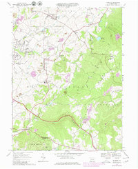
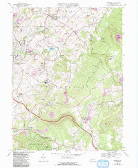
Editions of this 1967 Mammoth Map
4 editions found
Other maps of this area

1900 · Latrobe
USGS Topo · 1:62,500

1902 · Latrobe
USGS Topo · 1:62,500

1902 · Connellsville
USGS Topo · 1:62,500

1903 · Latrobe
USGS Topo · 1:62,500

1904 · Greensburg
USGS Topo · 1:62,500

1906 · Greensburg
USGS Topo · 1:62,500

1922 · Donegal
USGS Topo · 1:62,500

1931 · Connellsville
USGS Topo · 1:62,500

1935 · Donegal
USGS Topo · 1:62,500

1936 · Connellsville
USGS Topo · 1:62,500
Featured Places
- Bullskin Township, PA
- Mount Pleasant Township, PA
- Mammoth, Mount Pleasant Township
- Lycippus, Unity Township
- Trauger, Mount Pleasant Township