Loading...
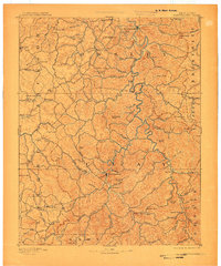
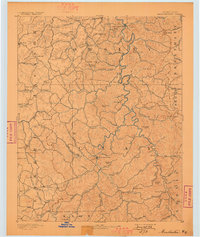
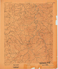
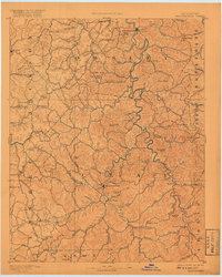
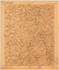
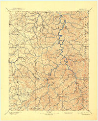
Loading map...1891 Map of Manchester
USGS Topo · Published 1907About this map
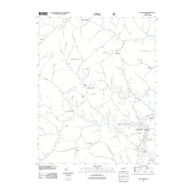
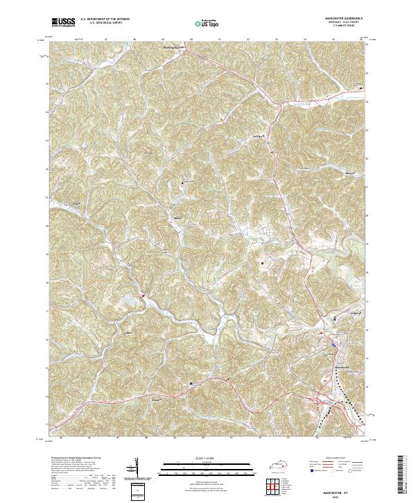
Manchester serves as the central hub of this late nineteenth-century reconnaissance, situated at a bend in the river near Orchard Knob. The area's early industrial character is defined by the Salt Works located just south of the town center, while a Saw Mill to the northwest on Wild Dog Creek indicates the importance of timber resources. The landscape is a dense network of knobs and creek valleys, where commerce is anchored by isolated outposts like Moore Store, Settle Store, and Brawer Store.
Find a feature on this map
103 named features on this map. Tap any name to fly to it.
Don’t see what you’re looking for? This feature index may not catch every label — zoom into the map to look around manually.
Map Details
Date Portrayed1891
Date Published1907
PublisherU.S. Geological Survey
Map TypeTopographic
Scale1:125,000
Physical Dimensions17.1 x 20.4 inches
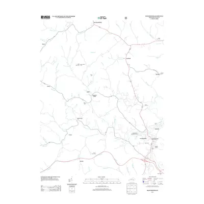
Editions of this 1891 Manchester Map
7 editions found

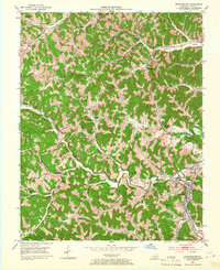
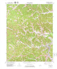
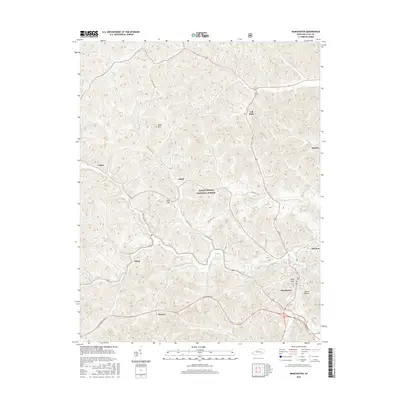
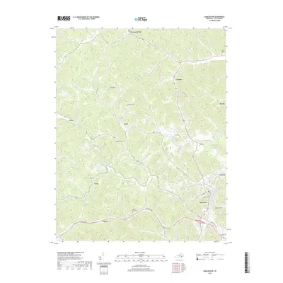
Historical Maps of Manchester Through Time
8 maps found
Featured Locations
Source Details
SourceU.S. Geological Survey
CopyrightPublic Domain