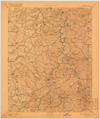
1891 Map of Manchester
USGS Topo · Published 1920About this map
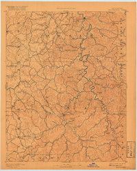
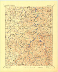
Manchester serves as a central hub for this late nineteenth-century reconnaissance of the Cumberland Plateau's intricate drainage systems. The landscape is defined by the winding South Fork Kentucky River and the significant industrial presence of the Salt Works just south of the Clay County seat. This era in eastern Kentucky history is marked by a dispersed network of rural commerce, illustrated by isolated outposts like Brawer Store, Moore Store, and Boush Store.
Find a feature on this map
74 named features on this map. Tap any name to fly to it.
Don’t see what you’re looking for? This feature index may not catch every label — zoom into the map to look around manually.
Map Details
Editions of this 1891 Manchester Map
7 editions found
Other maps of this area

1886 · Cumberland Gap
USGS Topo · 1:125,000

1887 · Jonesville
USGS Topo · 1:125,000

1888 · Cumberland Gap
USGS Topo · 1:125,000

1889 · Salyersville
USGS Topo · 1:125,000

1890 · Williamsburg
USGS Topo · 1:125,000

1891 · Manchester
USGS Topo · 1:125,000

1891 · Cumberland Gap
USGS Topo · 1:125,000

1891 · Hazard
USGS Topo · 1:125,000

1891 · Jonesville
USGS Topo · 1:125,000

1891 · Salyersville
USGS Topo · 1:125,000