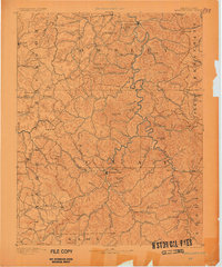
1891 Map of Manchester
USGS Topo · Published 1901About this map
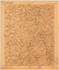
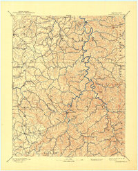
Manchester and the surrounding Cumberland Plateau hills are defined by an intricate network of waterways and early hilltop settlements in this late nineteenth-century survey. The local economy and life are anchored to the South Fork Kentucky River and Goose Creek, where the Salt Works south of Manchester represents a vital regional industry of the era. Settlement patterns follow the winding creek valleys, punctuated by crossroads hubs such as Settle Store, Brawer Store, and Boush Store, which served as essential gathering points for rural families.
Find a feature on this map
97 named features on this map. Tap any name to fly to it.
Don’t see what you’re looking for? This feature index may not catch every label — zoom into the map to look around manually.
Map Details
Editions of this 1891 Manchester Map
7 editions found
Other maps of this area

1886 · Cumberland Gap
USGS Topo · 1:125,000

1887 · Jonesville
USGS Topo · 1:125,000

1888 · Cumberland Gap
USGS Topo · 1:125,000

1889 · Salyersville
USGS Topo · 1:125,000

1890 · Williamsburg
USGS Topo · 1:125,000

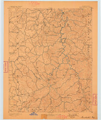
1891 · Manchester
USGS Topo · 1:125,000

1891 · Cumberland Gap
USGS Topo · 1:125,000

1891 · Hazard
USGS Topo · 1:125,000

1891 · Jonesville
USGS Topo · 1:125,000

1891 · Salyersville
USGS Topo · 1:125,000