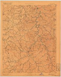
1891 Map of Manchester
USGS Topo · Published 1917About this map
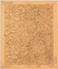
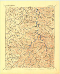
The South Fork Kentucky River and its intricate drainage network dominate this late 19th-century reconnaissance of the Cumberland Plateau. Focused on the settlement at Manchester, the map reveals a landscape defined by an early extraction and trade economy, evidenced by the significant Salt Works located just south of town. The terrain is a dense succession of high points such as Cradleblow Knob, High Rock Mt., and Pilot Mt., which dictated the placement of isolated mountain stores and small communities. These hubs of local commerce, including Brawer Store, Settle Store, and Boush Store, served as the primary social and economic anchors for residents living along the many narrow creek valleys like Bullskin Creek and Sexton Creek. This survey captures the region before major industrial modernization, when river travel and horse-path commerce still connected the disparate hollows.
Find a feature on this map
105 named features on this map. Tap any name to fly to it.
Don’t see what you’re looking for? This feature index may not catch every label — zoom into the map to look around manually.
Map Details
Editions of this 1891 Manchester Map
7 editions found
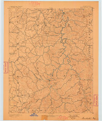
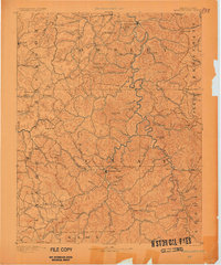
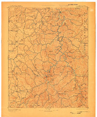
Other maps of this area

1886 · Cumberland Gap
USGS Topo · 1:125,000

1887 · Jonesville
USGS Topo · 1:125,000

1888 · Cumberland Gap
USGS Topo · 1:125,000

1889 · Salyersville
USGS Topo · 1:125,000

1890 · Williamsburg
USGS Topo · 1:125,000

1891 · Manchester
USGS Topo · 1:125,000

1891 · Cumberland Gap
USGS Topo · 1:125,000

1891 · Hazard
USGS Topo · 1:125,000

1891 · Jonesville
USGS Topo · 1:125,000

1891 · Salyersville
USGS Topo · 1:125,000