
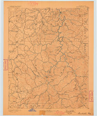
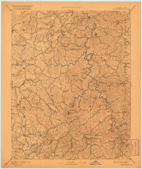
1891 Map of Manchester
USGS Topo · Published 1891About this map
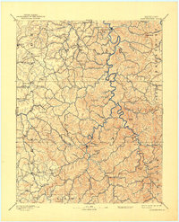
Manchester serves as the central hub of this late-nineteenth-century study of the Cumberland Plateau's intricate drainage systems and early commerce. The local economy is anchored by the Salt Works south of the town, reflecting the region's historic mineral extraction industry. The terrain is a dense network of knobs and creeks, where early mountain communities like Booneville and Mc Kee were established along vital watercourses such as the South Fork Kentucky River.
Find a feature on this map
102 named features on this map. Tap any name to fly to it.
Don’t see what you’re looking for? This feature index may not catch every label — zoom into the map to look around manually.
Map Details
Editions of this 1891 Manchester Map
7 editions found
Other maps of this area

1886 · Cumberland Gap
USGS Topo · 1:125,000

1887 · Jonesville
USGS Topo · 1:125,000

1888 · Cumberland Gap
USGS Topo · 1:125,000

1889 · Salyersville
USGS Topo · 1:125,000

1890 · Williamsburg
USGS Topo · 1:125,000

1891 · Cumberland Gap
USGS Topo · 1:125,000

1891 · Hazard
USGS Topo · 1:125,000

1891 · Jonesville
USGS Topo · 1:125,000

1891 · Salyersville
USGS Topo · 1:125,000

1892 · Richmond
USGS Topo · 1:125,000