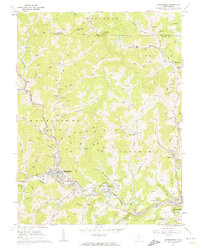
1960 Map of Mannington
USGS Topo · Published 1962About this map
The Baltimore and Ohio railroad corridor anchors this 1960s study of Marion County, following the winding course of Buffalo Creek through the major settlements of Mannington and Farmington. The landscape is a complex network of narrow hollows and steep ridges, such as Bake Oven Knob, heavily marked by the region's energy infrastructure. Numerous gas wells are scattered across the terrain, alongside prominent industrial sites like the Consol No 9 mine.
Find a feature on this map
80 named features on this map. Tap any name to fly to it.
Don’t see what you’re looking for? This feature index may not catch every label — zoom into the map to look around manually.
Map Details
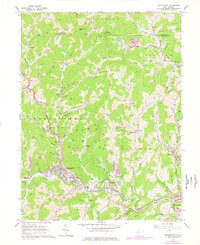
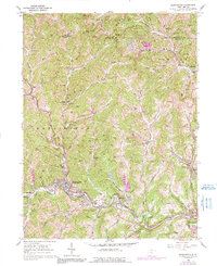
Editions of this 1960 Mannington Map
3 editions found
Other maps of this area

1902 · Clarksburg
USGS Topo · 1:62,500

1902 · Fairmont
USGS Topo · 1:62,500

1904 · Blacksville
USGS Topo · 1:62,500

1905 · Mannington
USGS Topo · 1:62,500

1910 · Clarksburg
USGS Topo · 1:62,500

1923 · Blacksville
USGS Topo · 1:62,500

1923 · Fairmont
USGS Topo · 1:62,500

1923 · Mannington
USGS Topo · 1:62,500

1923 · Clarksburg
USGS Topo · 1:62,500

1925 · Blacksville
USGS Topo · 1:62,500