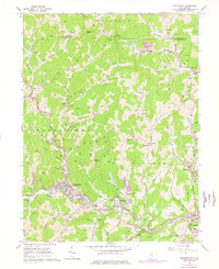
1960 Map of Mannington
USGS Topo · Published 1978About this map
Mannington serves as the industrial and social hub of this northern West Virginia landscape, situated at the confluence of several runs and the Buffalo Creek. The town's layout and the surrounding area reflect a heavy reliance on the Baltimore and Ohio railroad, which follows the winding creek valleys to connect coal and gas resources to wider markets. The hillsides are peppered with an intensive network of gas wells, illustrating the region's energy-driven economy during the mid-20th century.
Find a feature on this map
84 named features on this map. Tap any name to fly to it.
Don’t see what you’re looking for? This feature index may not catch every label — zoom into the map to look around manually.
Map Details
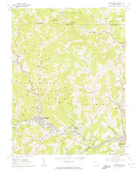
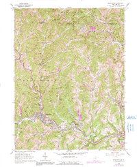
Editions of this 1960 Mannington Map
3 editions found
Other maps of this area

1902 · Clarksburg
USGS Topo · 1:62,500

1902 · Fairmont
USGS Topo · 1:62,500

1904 · Blacksville
USGS Topo · 1:62,500

1905 · Mannington
USGS Topo · 1:62,500

1910 · Clarksburg
USGS Topo · 1:62,500

1923 · Blacksville
USGS Topo · 1:62,500

1923 · Fairmont
USGS Topo · 1:62,500

1923 · Mannington
USGS Topo · 1:62,500

1923 · Clarksburg
USGS Topo · 1:62,500

1925 · Blacksville
USGS Topo · 1:62,500