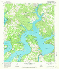
1968 Map of Mansfield Dam
USGS Topo · Published 1971About this map
Lake Travis dominates this late-1960s landscape, with its winding fingers carving deep into the Texas Hill Country terrain. The intricate shoreline creates distinct peninsulas like Hudson Bend and Arkansas Bend, where newer developments such as North Shore Acres and Lakeshore Ranch begin to appear alongside established landmarks. The engineering of Mansfield Dam and its powerhouse at the south end separates the reservoir from the lower-elevation Lake Austin, while aviation infrastructure like the Bar K Landing Strip and Lakeshore Ranch Landing Strip highlights the area's mid-century growth as a recreation and residential hub.
Find a feature on this map
75 named features on this map. Tap any name to fly to it.
Don’t see what you’re looking for? This feature index may not catch every label — zoom into the map to look around manually.
Map Details
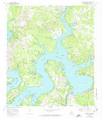
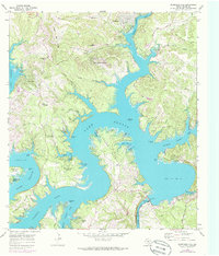
Editions of this 1968 Mansfield Dam Map
Other maps of this area

1887 · Blanco
USGS Topo · 1:125,000

1887 · Burnet
USGS Topo · 1:125,000

1893 · Georgetown
USGS Topo · 1:125,000

1893 · Burnet
USGS Topo · 1:125,000

1894 · Blanco
USGS Topo · 1:125,000

1896 · Austin
USGS Topo · 1:125,000

1897 · Austin
USGS Topo · 1:125,000

1903 · Burnet
USGS Topo · 1:125,000

1909 · Burnet
USGS Topo · 1:125,000

1910 · Austin
USGS Topo · 1:125,000