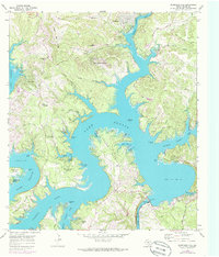
1968 Map of Mansfield Dam
USGS Topo · Published 1986About this map
Mansfield Dam and its adjacent Powerhouse anchor the southeastern corner of this map, controlling the transition from the winding Lake Travis reservoir into Lake Austin. The topography reveals a landscape shaped by the impoundment of the Colorado River, where rugged limestone ridges like Post Oak Ridge and South Jonestown Hills rise sharply from the water. Developing communities such as Jonestown and Lago Vista are shown alongside more established local markers, including the Simpson Cem and Teck Cem.
Find a feature on this map
59 named features on this map. Tap any name to fly to it.
Don’t see what you’re looking for? This feature index may not catch every label — zoom into the map to look around manually.
Map Details
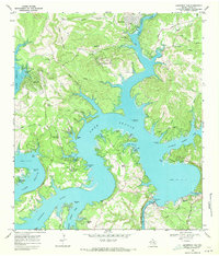
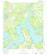
Editions of this 1968 Mansfield Dam Map
Other maps of this area

1887 · Blanco
USGS Topo · 1:125,000

1887 · Burnet
USGS Topo · 1:125,000

1893 · Georgetown
USGS Topo · 1:125,000

1893 · Burnet
USGS Topo · 1:125,000

1894 · Blanco
USGS Topo · 1:125,000

1896 · Austin
USGS Topo · 1:125,000

1897 · Austin
USGS Topo · 1:125,000

1903 · Burnet
USGS Topo · 1:125,000

1909 · Burnet
USGS Topo · 1:125,000

1910 · Austin
USGS Topo · 1:125,000