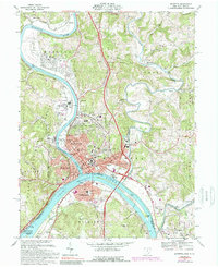
1969 Map of Marietta
USGS Topo · Published 1989About this map
The confluence of the Ohio River and Muskingum River anchors this 1969 survey of Marietta, Ohio, and Williamstown, West Virginia. The landscape is defined by its deep historical roots, featuring landmarks like the Fort Harmar Monument and the ancient earthworks within Mound Cem and Sacra Via Park. This edition captures the city's civic core, including Marietta College, the Courthouse, and the Campus Martius Museum, alongside industrialized riverfronts served by the Baltimore and Ohio and Conrail railroads. North of the main city, the residential expansion into Devola, Oak Grove, and Rathbone is visible, while the eastern edge is marked by the winding course of Duck Creek and the wooded terrain of the Wayne National Forest. The presence of Buckley Island and Muskingum Island highlights the traditional river-oriented economy before modern interstate development altered these shorelines.
Find a feature on this map
84 named features on this map. Tap any name to fly to it.
Don’t see what you’re looking for? This feature index may not catch every label — zoom into the map to look around manually.
Map Details
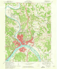
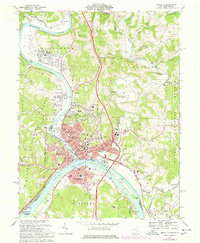
Editions of this 1969 Marietta Map
3 editions found
Other maps of this area

1902 · Parkersburg
USGS Topo · 1:62,500

1903 · Macksburg
USGS Topo · 1:62,500

1904 · Parkersburg
USGS Topo · 1:62,500

1904 · Marietta
USGS Topo · 1:62,500

1905 · Macksburg
USGS Topo · 1:62,500

1909 · Caldwell
USGS Topo · 1:62,500

1912 · Caldwell
USGS Topo · 1:62,500

1924 · Marietta
USGS Topo · 1:62,500

1927 · Marietta
USGS Topo · 1:62,500

1949 · Clarksburg
USGS Topo · 1:250,000