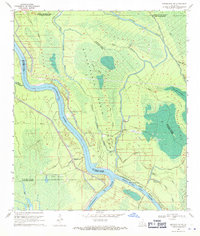
1969 Map of Maringouin NW
USGS Topo · Published 1971About this map
The Atchafalaya Basin Floodway dominates this landscape, where the Atchafalaya River and the Whisky Bay Pilot Channel converge within a complex network of wetlands and hydraulic infrastructure. The map documents the mid-century industrial presence of the Happytown Oil and Gas Field and the South Happytown Oil and Gas Field, indicating a period of heavy resource extraction amidst the swampy terrain.
Find a feature on this map
31 named features on this map. Tap any name to fly to it.
Don’t see what you’re looking for? This feature index may not catch every label — zoom into the map to look around manually.
Map Details
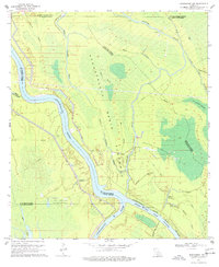
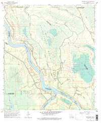
Editions of this 1969 Maringouin NW Map
3 editions found
Other maps of this area

1935 · Osca Bayou
USGS Topo · 1:62,500

1939 · Fordoche
USGS Topo · 1:62,500

1940 · Arnaudville
USGS Topo · 1:62,500

1953 · Cow Bayou
USGS Topo · 1:24,000

1953 · Maringouin
USGS Topo · 1:24,000

1954 · Fordoche
USGS Topo · 1:24,000

1954 · Baton Rouge
USGS Topo · 1:250,000

1955 · Osca Bayou
USGS Topo · 1:62,500

1955 · Fordoche
USGS Topo · 1:62,500

1956 · Baton Rouge
USGS Topo · 1:250,000
Featured Places
- St. Landry Parish, LA
- Saint Martin Parish, LA
- Iberville Parish, LA
- Pointe Coupee Parish, LA
- United States