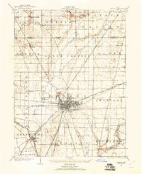
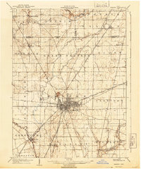
1966 Map of Marion
USGS Topo · Published 1968About this map
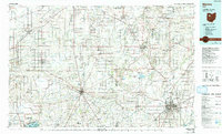
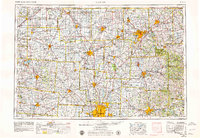
Columbus anchors the southern reaches of this mid-1960s regional study, which tracks the northward expansion of Central Ohio toward industrial centers like Mansfield and Marion. The landscape is a corridor of heavy transit, where the Pennsylvania and Erie Lackawanna Railroad intersect with the burgeoning interstate system, including Interstate 71 and Interstate 75. Beyond the urban centers, the terrain reveals distinctive landmarks such as Bellefontaine Ridge and Black Hand Rock, alongside the conservation and agricultural history of Malabar Farm. Water management and recreation dominate the eastern and western flanks, evidenced by the presence of Indian Lake, Delaware Reservoir, and Buckeye Lake. These features reflect a mid-century period of civil engineering where flood control reservoirs and a dense network of state routes, like Ohio State Route 4, reshaped the rural character of counties from Hardin to Ashland.
Find a feature on this map
255 named features on this map. Tap any name to fly to it.
Don’t see what you’re looking for? This feature index may not catch every label — zoom into the map to look around manually.
Map Details
Editions of this 1966 Marion Map
3 editions found
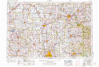
Historical Maps of Columbus Through Time
6 maps found